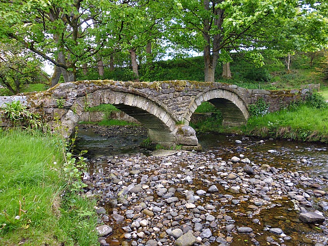
The Tarr Steps bridge over the River Barle, in Somerset.
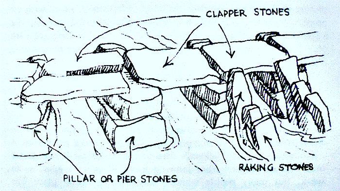
NGR:- SS 86770 32113. The Tarr Steps are an ancient Clapper Bridge that spans the river Barle in Exmoor National Park, about 4 miles northwest of Dulverton and 2½ miles south of Withypool, in Somerset. The slab-stone bridge could be prehistoric in age and date back 3,000 years to the Iron Age; however, some historians now consider the Tarr Steps to be Mediaeval in age and only dating back to the beginning of the 15th Century. The Tarr Steps slab bridge is 135 feet in length from bank to bank though Dr Sweetapple-Horlock (1928) said its length across the river was 180 feet. The stone slabs or clappers are between 6-10 foot long and the larger slabs are estimated to weigh between 1-2 tons; they lie on pillars with one or two slabs on top. Writing in 1924 Sir William Boyd Dawkins was the first to suggest prehistoric origins for the clapper bridge, or the earlier trackway over the ford, that crossed the river Barle, and its links with the Bronze Age round barrows (dating back to 2,500 BC) over to the west on Fyldon Ridge – while another trackway heads northeast from Tarr Steps bridge to the ‘Caratacus Stone’, an inscribed standing stone on Winsford Hill.
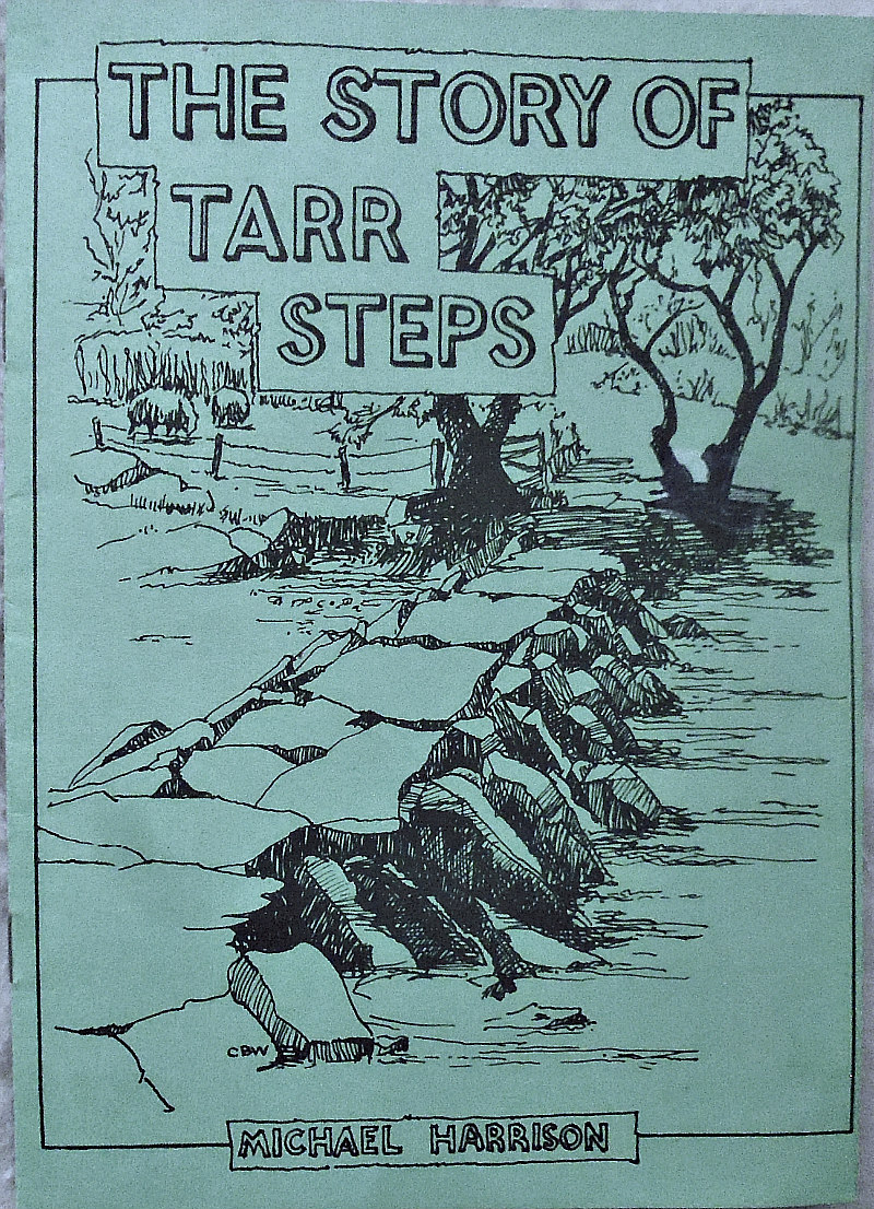
The Story of Tarr Steps by Michael Harrison (1985).
Michael Harrison (1985) says regarding the “Position of Steps The theory adduced by some writers is that it is a link track between the ridgeway over Winsford Hill (note the wam-barrows and Caratacus Stone), presumably to harbours in the Bristol Channel, with the other ridgeway over Molland Common via Anstey Barrows, White Post and over Fyldon Ridge (the present County Boundary) and on to Barnstaple. The significant point in common is that both tracks have Bronze Age Round Barrows alongside which date them around 2500 B.C., making the bridge seem comparatively modern and the ford across the river of very ancient origin. Whether the original trackway went up the hill to the Church or whether it went up Hardway to Pennycombe Brook, which was the more direct line and not quite so steep, to White Post and the Ridgeway, must be a matter for speculation. The former route would meet the way over Hawkridge ridge coming up from the woods, where the Danesbrook joins the Barle guarded by the Iron Age earthworks of Mounsey Castle and Brewers Castle. showing that this track must have been of importance in very ancient times. The writer apologizes for this diversion in the story of the Steps, but it must relate to the question of why the trackway was made there by the people who lived in these parts so many years ago. The answer is presumably because the river was easily fordable there, and the bridge later constructed to enable travellers to cross dryshod.
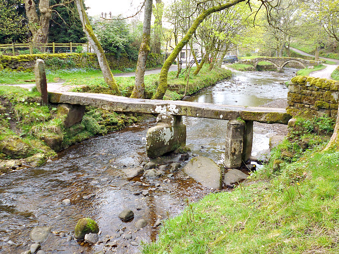
Tarr Steps, Somerset. Description by Clery Welch.
“Description Of Steps Back from the wilds of Exmoor let us return to Dr. Sweetapple’s Guide and a description of the Bridge, which consists of 17 spans, the covering stones laid flat without mortar or cement of any kind, on pillars of rough stone placed directly on the river bed. The pillars are from 4ft to 6ft apart, 3ft to 4ft high and about 3ft in breadth. Most of the pillars are spanned by one stone only but some have two laid side by side and one has three. The great slabs are from 6ft to 8ft long. One is over 10ft in length, nearly a foot thick, and estimated to weigh two tons or more. One stone about the centre of the Bridge is laid crosswise and is said to mark the boundary between the Parishes of Dulverton [now Winsford] and Hawkridge. This last mentioned stone seems to have been left out in one of the later reconstructions.
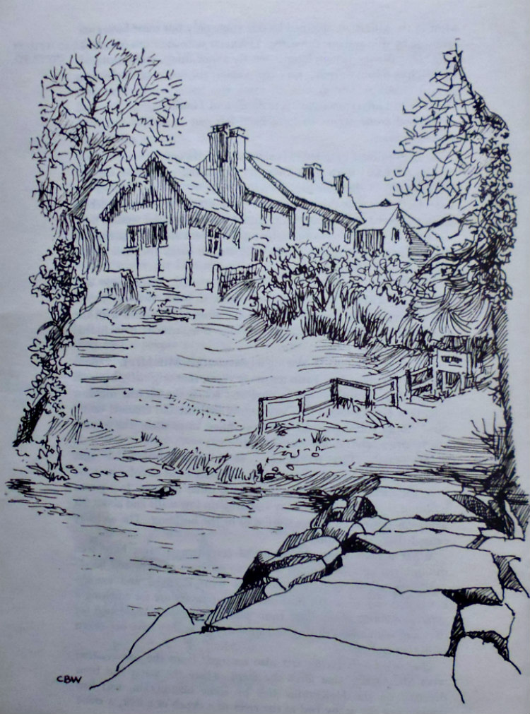
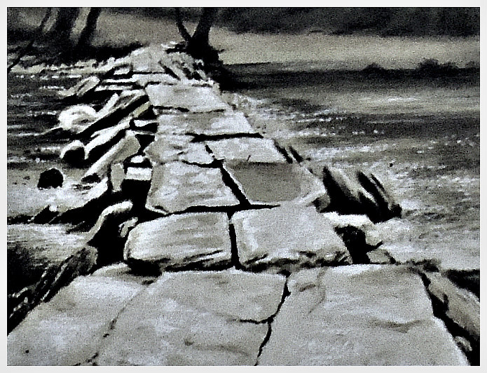
The Tarr Steps (illustrated by Clery Welch).
“At each pillar a long stone is slanted lengthways, one end resting on the river bed with its higher end projecting just above the flat stones of the bridge (the present writer’s theory on this aspect of the construction is that this was to allow tree branches and other debris to slide up the sloping stones in times of flood and be washed over the flat stones rather than pile up against them and risk damage to the bridge). The sloping stones were also to break the force of the water against the pillars. The Bridge is 180ft long according to Dr. Sweet-apple and Grinsell, but the actual length from bank to bank, is about 135ft. The discrepancy is accounted for by the stones lying flush with the surface of the ground on the Hawkridge side, which, if included, come to approximately 180ft. The writer discovered, during a conversation with Mr. A. Oakes, who was tenant of Tarr Farm for many years, that originally a branch of the river ran under these stones and across the present meadow leaving a large island. Dr. Sweetapple had the old channel under these stones and across the meadow, filled in to make the present much larger and more useful field.
“Building Of The Steps The position of the bridge was evidently carefully chosen as the pool above is one of the longest and stillest in the river, and the flow of the water would be slowed before it reached the bridge. “‘The labour of building such a bridge must have been colossal’”, says the Guide, “‘in an age when machinery was un-known and it is hardly to be wondered at that local tradition ascribes the work to the devil. As he was bringing the stones in his apron the string broke and the large square stone thus dropped can still be seen between the holly trees on the left bank making a useful seat’”. This stone is now below the island having been carried there in the Lynmouth flood.
“The devil seems to have been held responsible on a number of occasions on Exmoor for rocks and stones in un-usual places, but why he should have built anything so useful as a bridge remains another mystery. In the case of Tarr Steps he is said to have built it in one night, saying it was for his exclusive use and that he would destroy the first creature crossing it. An unfortunate car attempted it and was torn to pieces, in one account, or struck by lightning in another. This appears to have broken the spell, for a Parson then crossed in safety, exchanging com-pliments with the builder. “‘The devil called the Parson a black crow, to which the Parson replied that he was not blacker than the devil’”.
“Name Of The Steps The Bridge and its name is another chapter in the Guide. Signposts to the steps varied between Torr and Tarr. Dr. Sweetapple points out that Torr means a boulder or rock outcrop, never stones such as could be used for bridge building. It seems more likely to be derived from the Celtic ‘toucher’ anglicised to ‘toher’ meaning a causeway, and the word ‘Steps’ added at a later date when they had been built. The other suggestion is that it may have taken its name from the family of Tarr connected with the district for many years. L. V. Grinsell, mentioned earlier, speculates in more detail in his book. Certainly all the earlier writers on Ex-moor—Collins, the Rev. Jack Russell, and MacDermot, call it Tarr Steps. Maps made in 1782 and 1822 show the form Tar Steps.
“The Guide [Dr. Sweetapple’s] itself mentions that occasionaly, after a combination of heavy rain and melting snow, the river overflows the bridge and that fifty years ago it was rare for the water even to cover the bridge, but this was before the moors were drained and in consequence the flow of water was more constant. Also the river was wider and deeper. Since drainage grants came in with the Second World War, the run off from the uplands has been greatly accelerated and this in turn causes flash floods of greater violence and more often than in the old days, bringing down driftwood and even trees which crash into the structure with great force, breaching it on several occasions in recent times. The unforseeable happening was the Lynmouth flood……….”
Sources / References & Related Websites:-
Harrison, Michael, The Story Of Tarr Steps, (with illustrations by Clery Welch), 1985.
https://en.wikipedia.org/wiki/Tarr_Steps
https://historicengland.org.uk/listing/the-list/list-entry/1021325
More info here at: https://www.exmoor-nationalpark.gov.uk/enjoying/tarr-steps
https://archaeology-travel.com/england/tarr-steps-exmoor
https://www.atlasobscura.com/places/tarr-steps
Copyright © Ray Spencer, The Journal of Antiquities, 2020.