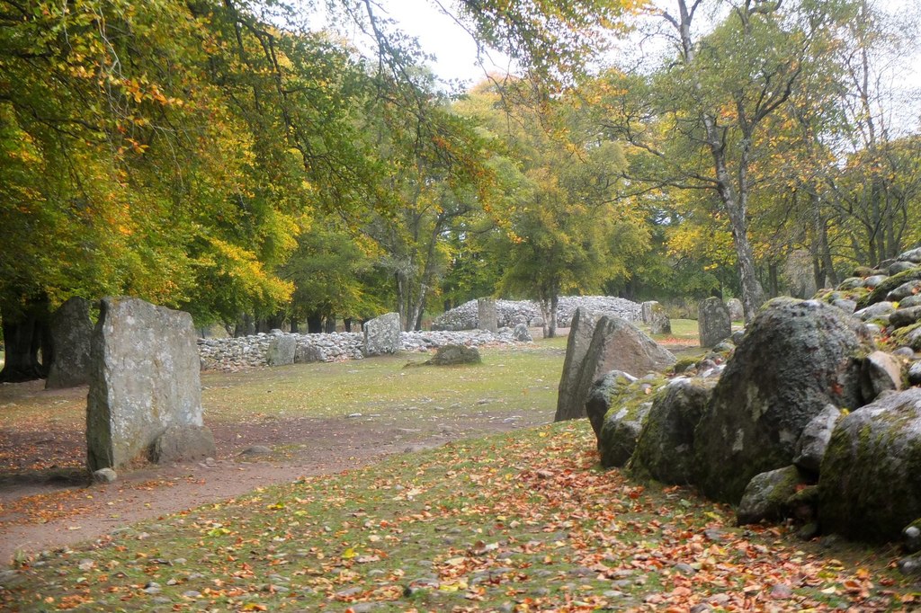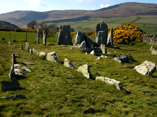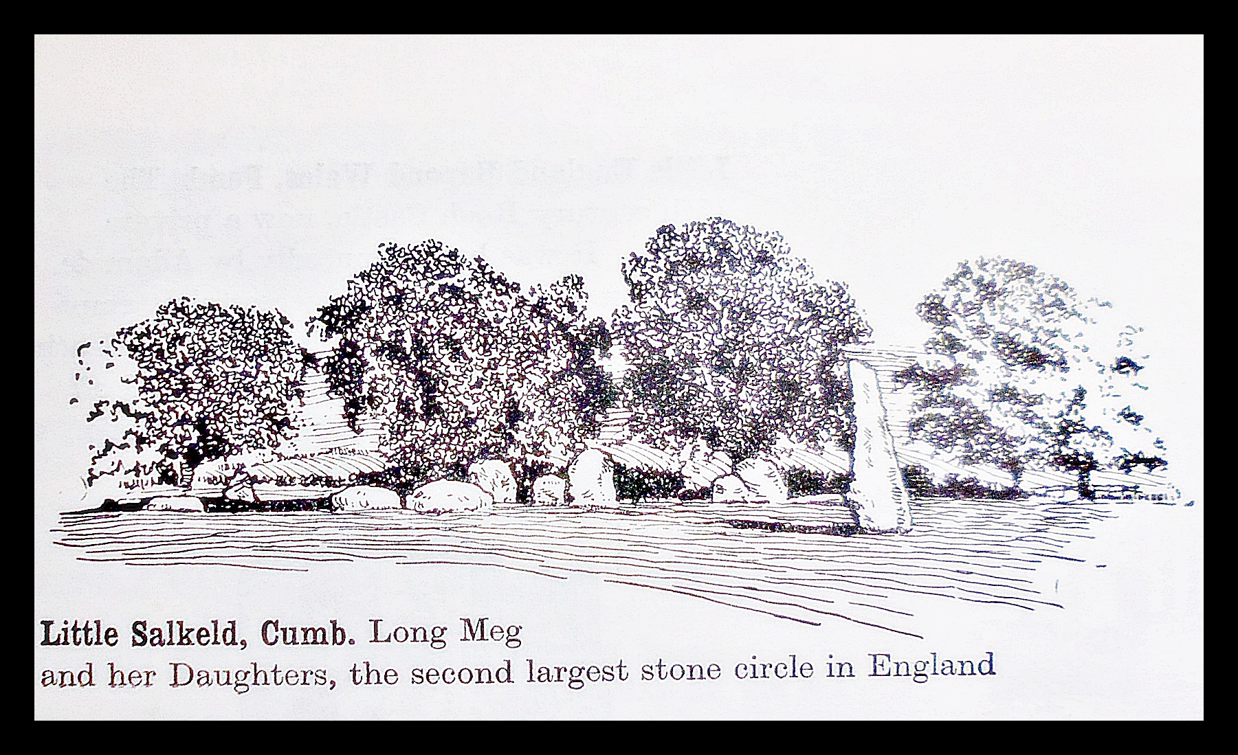
Long Meg and Her Daughters, Cumbria
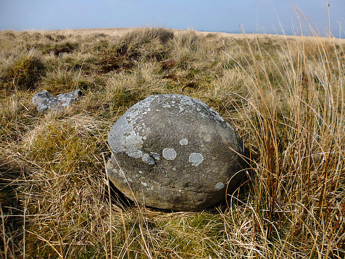
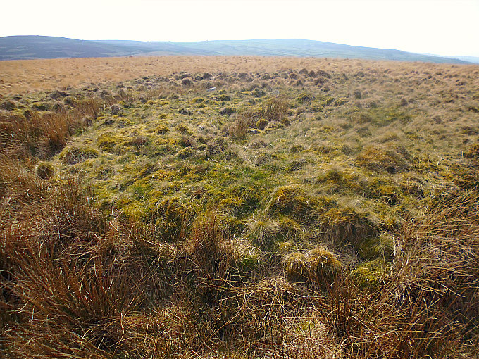
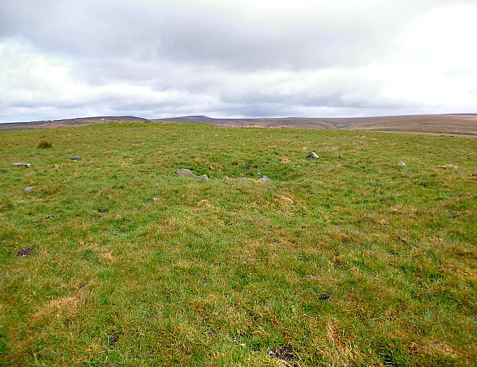
NGR: NY 5710 3720. About half a mile to the north-east of Little Salkeld, Cumbria, is the ancient monument known as ‘Long Meg and Her Daughters’, which is a stone circle dating back to the Neolithic period of prehistory. And 650 meters to the north-east is Little Meg, a Bronze Age ring cairn or cairn circle, with a number of upright stones on top of the grassy mound. The tall and distinctly human-shaped standing stone called Long Meg is a red sandstone outlier to the southwest of the circle, but two of her quite “large” daughters (there used to be four large daughters) face her and seem to form an entrance to the circle itself. Some historians say that, actually, 59 of the stones were her daughters! There are some spiral carvings on one of the faces of Long Meg. The stone circle, which is actually more oval in shape, originally had up to 70 stones and a henge-like bank surrounding it, but this is now hardly noticeable apart from at the western side. Long Meg and her daughters are thought to have been local witches who were turned to stone because they had danced on the Sabbath day, but that is ‘just a local legend’ from the mists of time and has no real truth to it, but something that is also quite common with regard to other standing stones and stone circles in Britain. It is said to be the second-largest stone circle after Stonehenge, the diameter being 107 metres (350 feet), but others think it is the third largest after the stone circle at Avebury, and then there is the circle at Stanton Drew, which might also come into that equation.
Barry M. Marsden, writing in 1971, tells us that: “This circle is an oval-shaped setting of 51 stones (27 still upright and each about 10 feet long) and perhaps originally numbering 70. The circle measures 360 by 305 feet. Long Meg is an outlying stone 60 feet south-west, 12 feet high, and bearing cup-and-ring marks on its north-east face. Two further outliers can be seen between Long Meg and the circle (her daughters). It seems that this circle was once enclosed within a bank, best preserved to the west.”
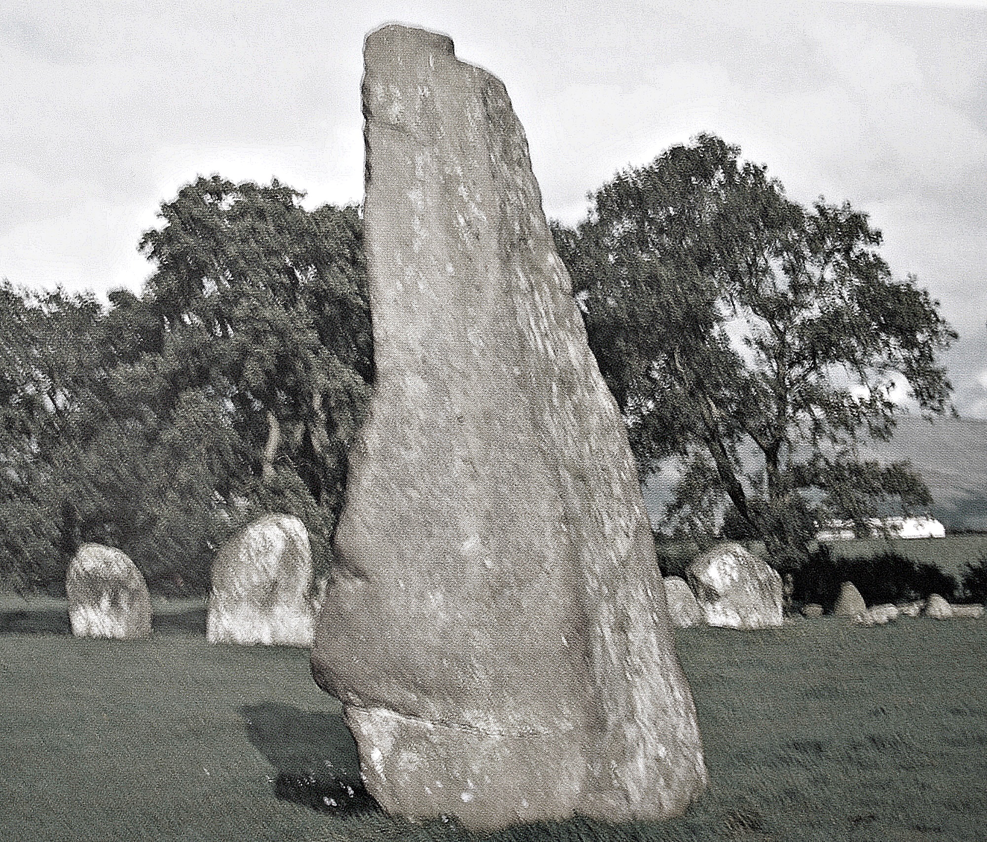
Long Meg Standing Stone near Little Salkeld, Cumbria.
Arthur Mee (1961) says of this ancient stone circle: “Here on a hill is a famous family perhaps twice as old as Christianity, Long Meg and Her daughters. We may call them Cumberland’s Stonehenge, for they make up a stone circle nearly 400 yards round, the biggest in the land after Stonehenge itself. High above the village [Little Salkeld} we find them, at a magnificent viewpoint where most of the Cumberland mountains are in sight. There are 67 in the family circle, many of the stones being exceptionally large and almost all shapeless. Some are higher than a man, and are 10 or 15 feet round. A few are now level with the ground. Some are rocks of greenstone, others are limestone or granite. Long Meg herself stands alone a few yards away, 18 feet high and 15 feet round, and weighing, we imagine, about 17 tons. She is roughly tapering and slightly round-shouldered, and facing her are four big daughters, making a crude sort of gateway.”
Timothy Darvill, writing in 1988, has much more to say about this site, ‘Long Meg and Her Daughters’. He says it: “is a splendid Neolithic or early Bronze Age standing stone and associated stone circle lying in lush pasture not far from the River Eden. Many legends surround the origin of this site. One tells of an indignant saint who turned a local coven of witches into stones; another claims that the stones which make up the circle were Long Meg’s lovers.
“The circle is actually an oval setting with about 50 stones on its circumference, 27 of them still standing, although originally there may have been as many as 70. Most are large, up to 3m tall, the heaviest being a huge block at the south-south-west, which is estimated to weigh some 28 tons.
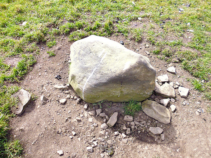
“Long Meg, a tall, lean standing stone with a pointed top, lies about 18m outside the circle to the south-west. It is 3.6m high, and on the north-western face are traces of three designs: a cup-and-ring mark, a spiral and some incomplete concentric circles. Unlike the outliers found at the majority of circles, Long Meg seems to be significantly placed in relation to the centre of the circle because its alignment is almost exactly that over which the midwinter sun would have set in late Neolithic times. What connection this event may have had with the rituals performed at the site is not known. There are two other outliers, about 8.5m apart, between Long Meg and the circle. About ½ mile to the north-east is Little Meg (NGR NY 577375), a circle of 11 stones which, when originally constructed, surrounded a barrow.”
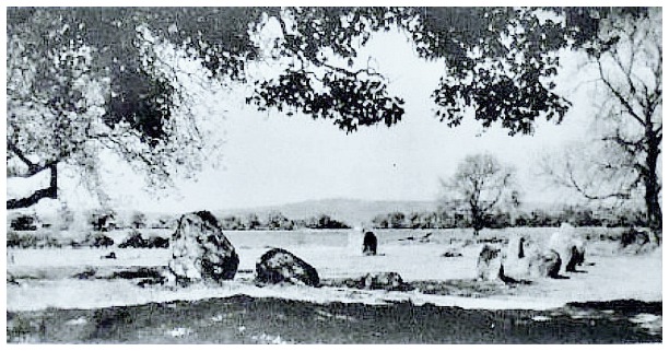
Long Meg Stone Circle, Near Little Salkeld.
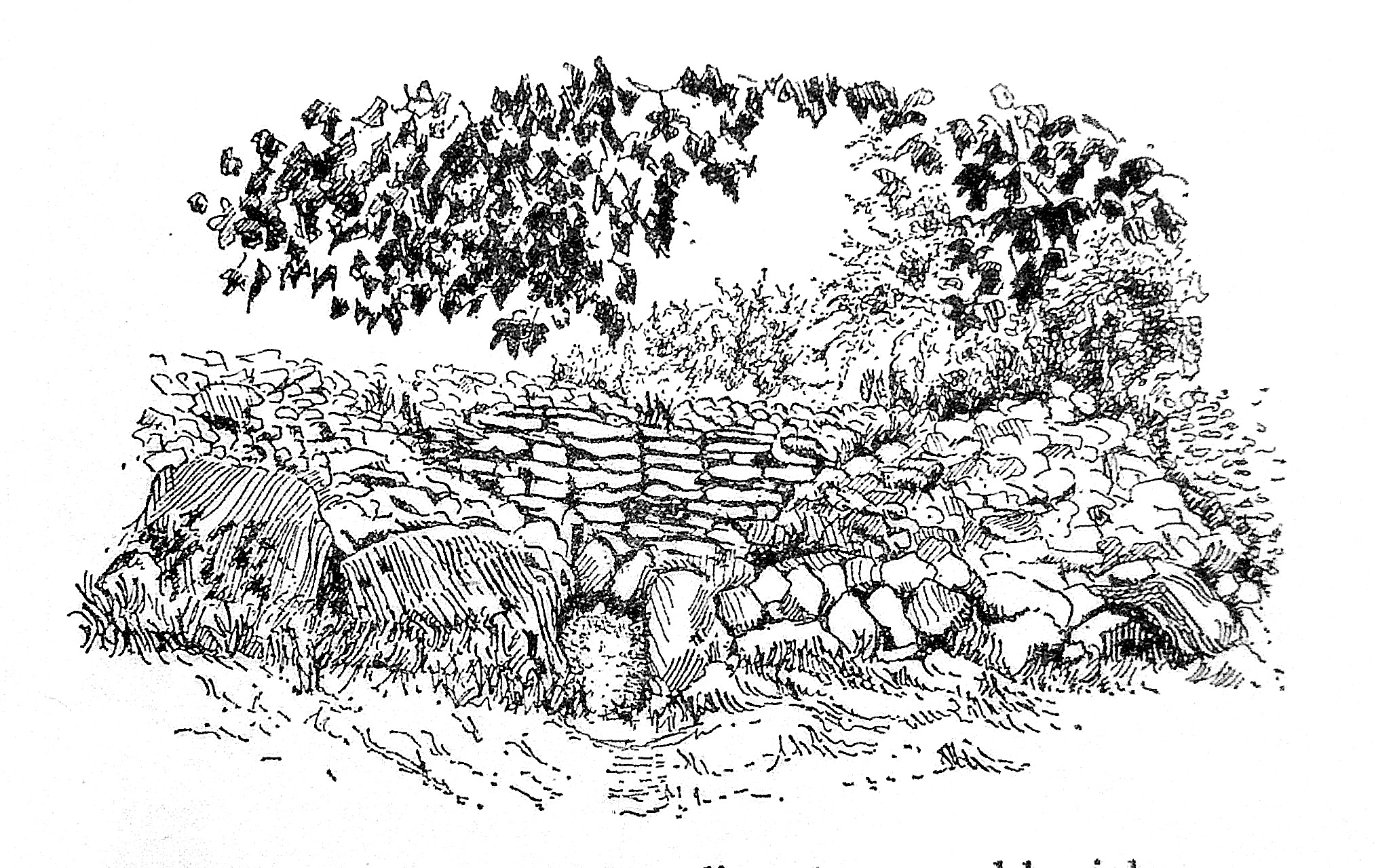
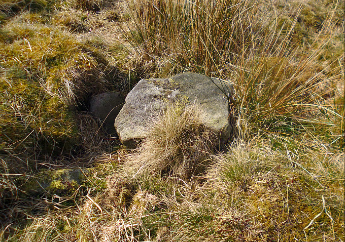
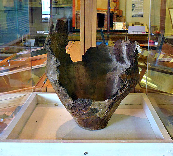
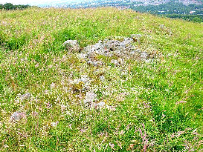
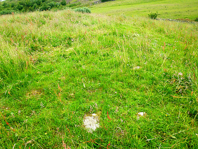
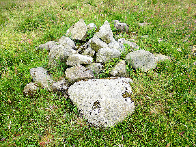
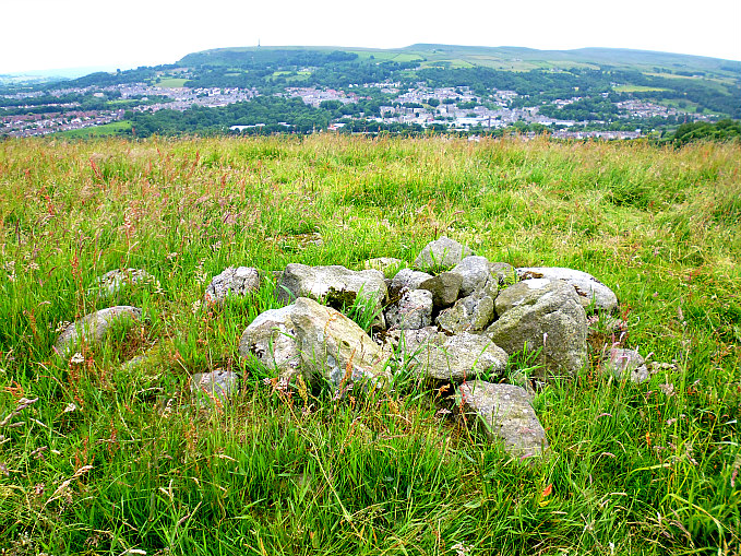
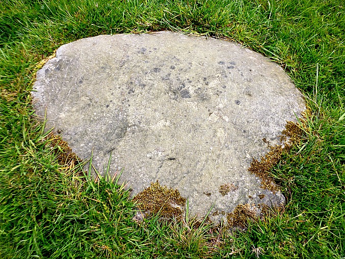
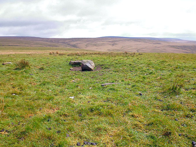
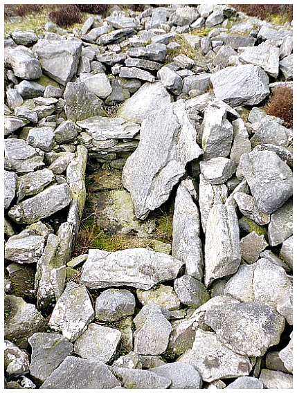
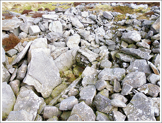
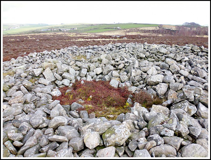
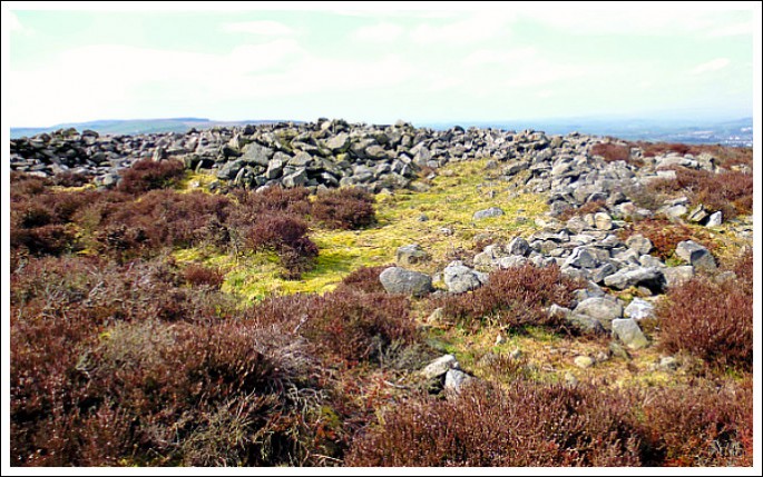
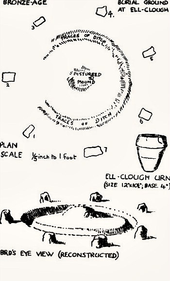
Barry M. Marsden (1971) adds to the above and says of the ‘Little Meg’ (Maughanby Circle) at Glassonby: “Little Meg is a circle of 11 stones, originally surrounding a cairn which covered a cist containing a cremation in an urn. Two of the stones are decorated with cup marks and spiral carvings.” Robert Harris wrote in 2001 about Little Meg, saying that: “Tucked away at the edge of a field and sadly rather overgrown and neglected, this tiny ring is famous for its spirals carved into a low slab next to the largest of the circle stones. They are not immediately obvious, but if you have the time, be patient, for in late afternoon sunlight they appear as if by magic in answer to the sun god for whom they were carved. The two spirals merge and intertwine and look like two eyes. Similar motifs have been found throughout the British Isles but rarely on such a small circle as Little Meg.”
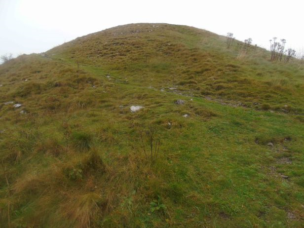
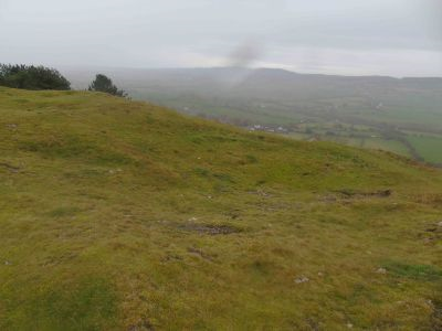
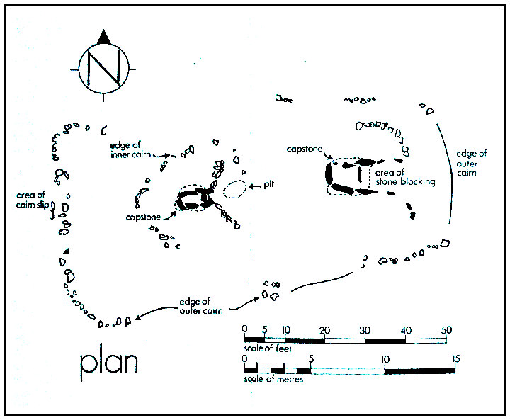
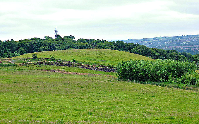
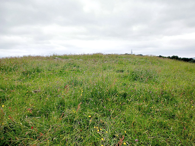
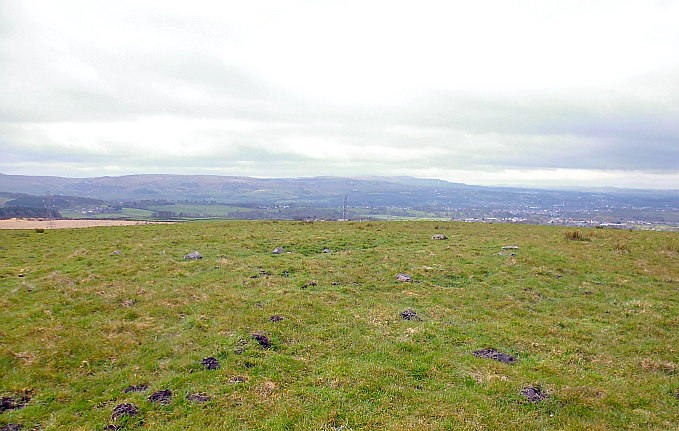
To add to the above, there is a circular Bronze Age kerbed cairn, 1 mile north of the Long Meg stone circle and just west of Glassonby village (NGR: NY 5728 3935), which looks to have been built onto an earlier Neolithic long-cairn or barrow.
Sources & References:-
Darvill, Timothy, AA Glovebox Guide —Ancient Britain, The Automobile Association, Basingstoke, Hampshire, 1988.
Harris, Robert, Walks in Ancient Lakeland, Sigma Leisure, Wilmslow, Cheshire, 2004.
Marsden, Barry, M., Discovering Regional Archaeology—North Western England, Shire Publications, Tring, Herts, 1971.
Mee, Arthur, The King’s England — The Lake Counties, Hodder and Stoughton, London, 1961.
The AA, The Illustrated Road Map Of England And Wales, The Automobile Association, London, 1961.
Please visit the website: https://www.visitcumbria.com/evnp/long-meg-and-her-daughters/
https://en.wikipedia.org/wiki/Long_Meg_and_Her_Daughters
http://www.stone-circles.org.uk/stone/longmeg.htm
https://www.pagansofthenorth.co.uk/post/long-meg-and-her-daughters
https://www.megalithic.co.uk/article.php?sid=97
http://www.stone-circles.org.uk/stone/glassonby.htm
Copyright © Ray Spencer, 2026.