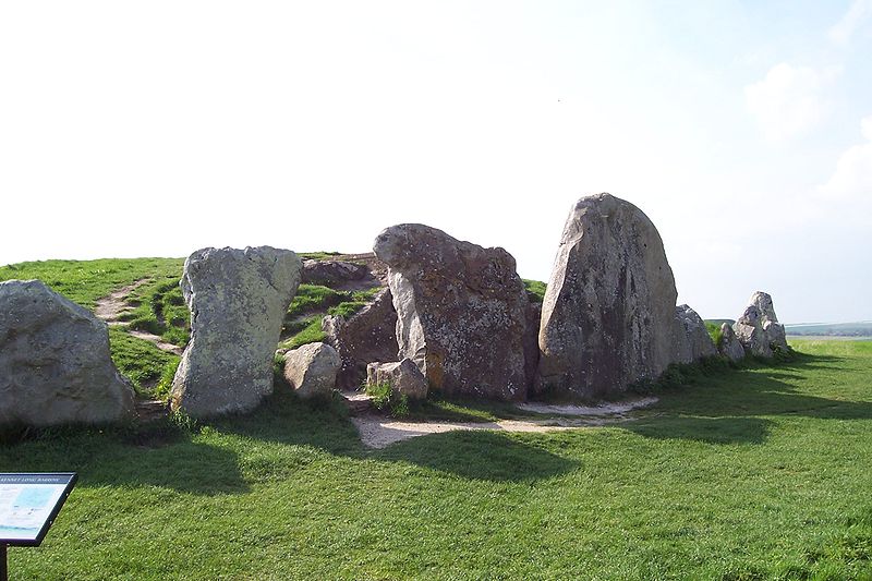
The West Kennet Long Barrow. Photo by troxx. Wikimedia-Commons.
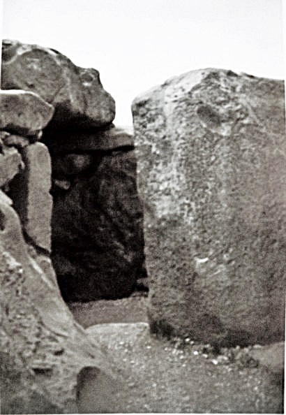
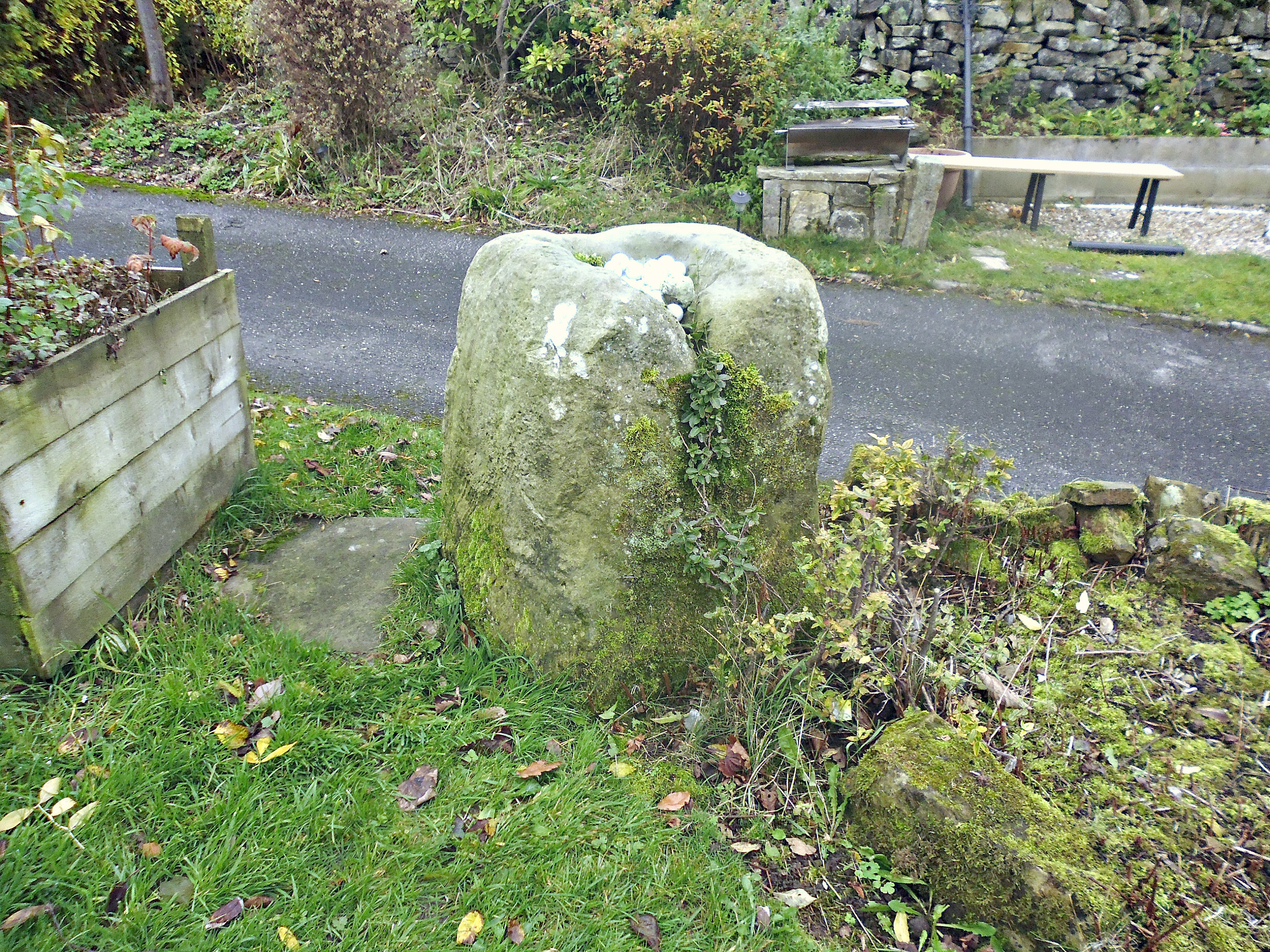
West Kennet Long Barrow Entrance.
NGR: SU 1051 6775. Located in the grassy meadows and along a footpath across the river Kennet, 850 metres (uphill) to the southeast of Silbury Hill, in Wiltshire, and near the Beckhampton-Bath Road (A4) is the West Kennet Long Barrow, a megalithic chambered tomb dating from the Neolithic age of prehistory. It is the best-known, and the best preserved, of all the Neo-lithic long barrows in Britain. The entrance (portal) to the long mound has very large stone slabs set up against its facade; the original entrance was blocked by large stones, while inside the stone-lined passageway leads to four burial chambers or side chambers (and one large chamber at the far end) which once contained the skeletons and grave goods of some 46 individuals from the stone age 3,700 to 2,000 BC.
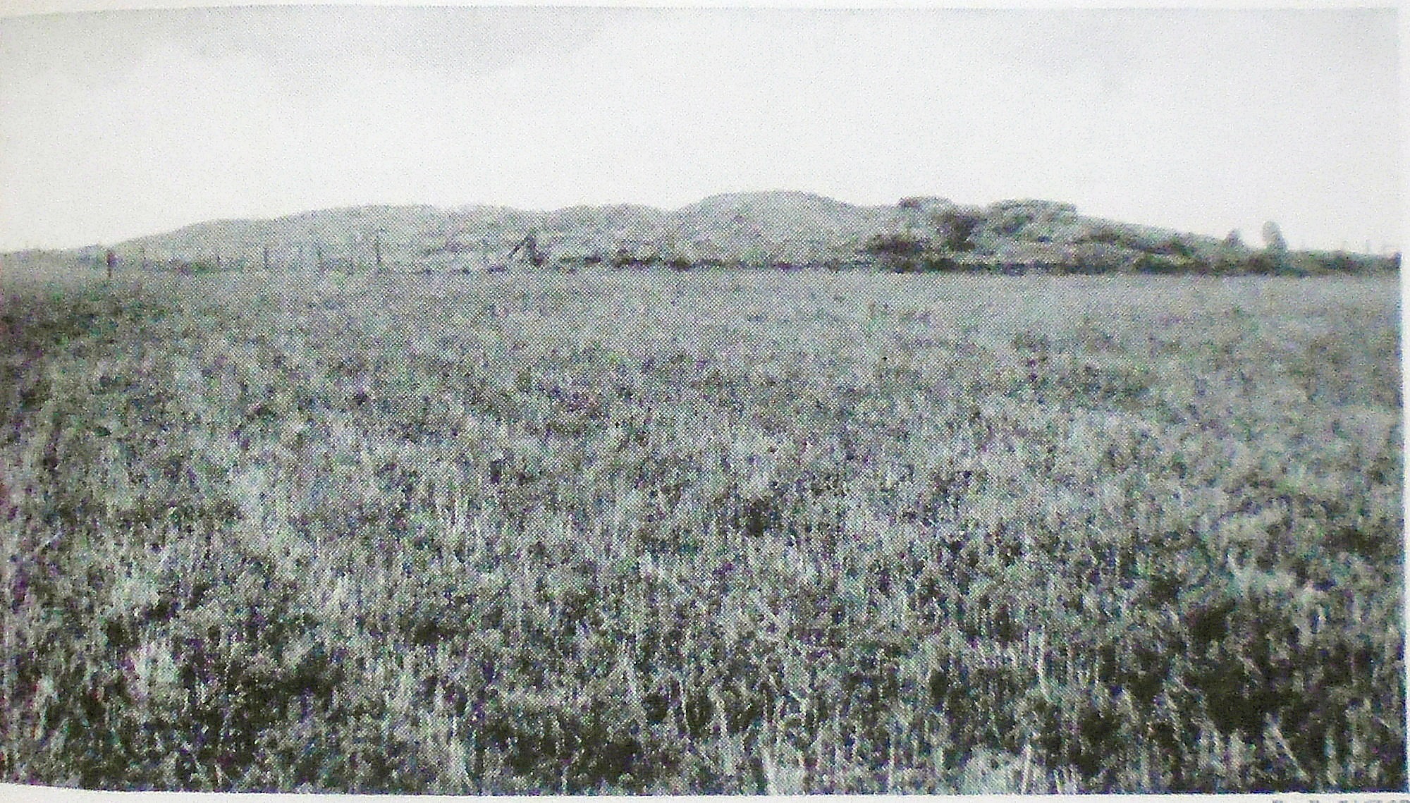
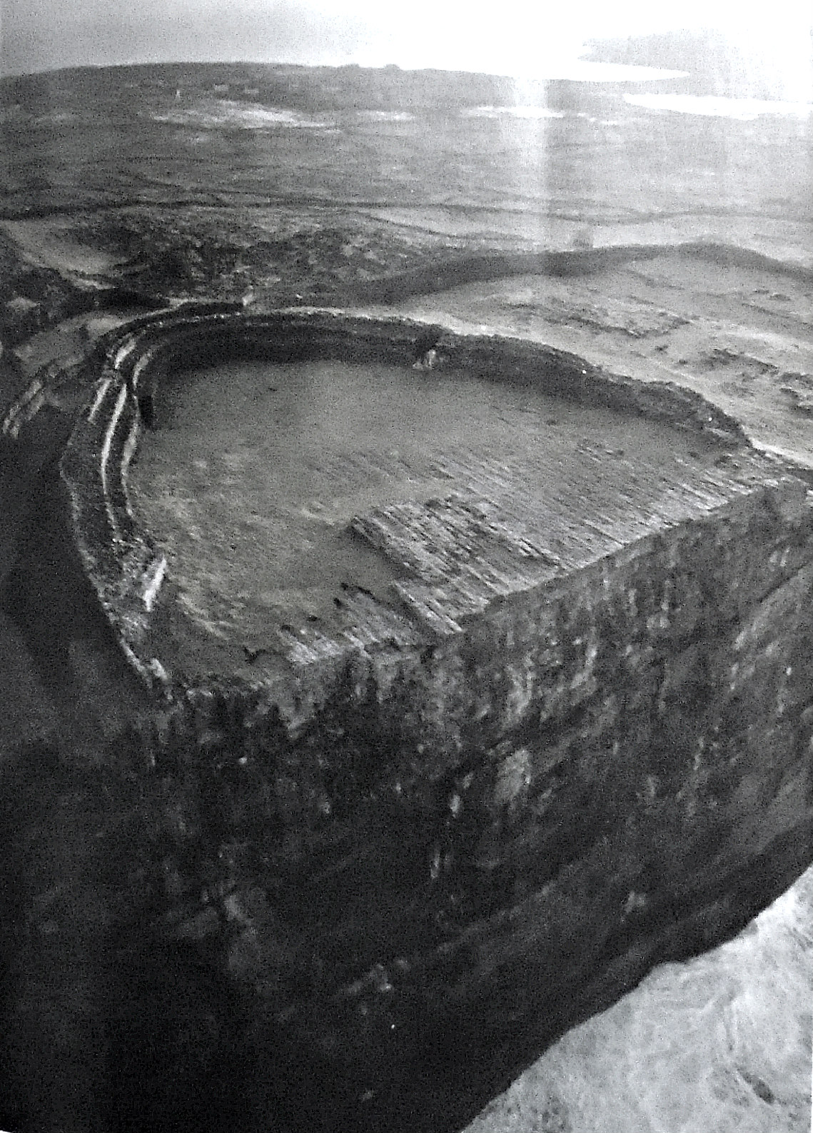
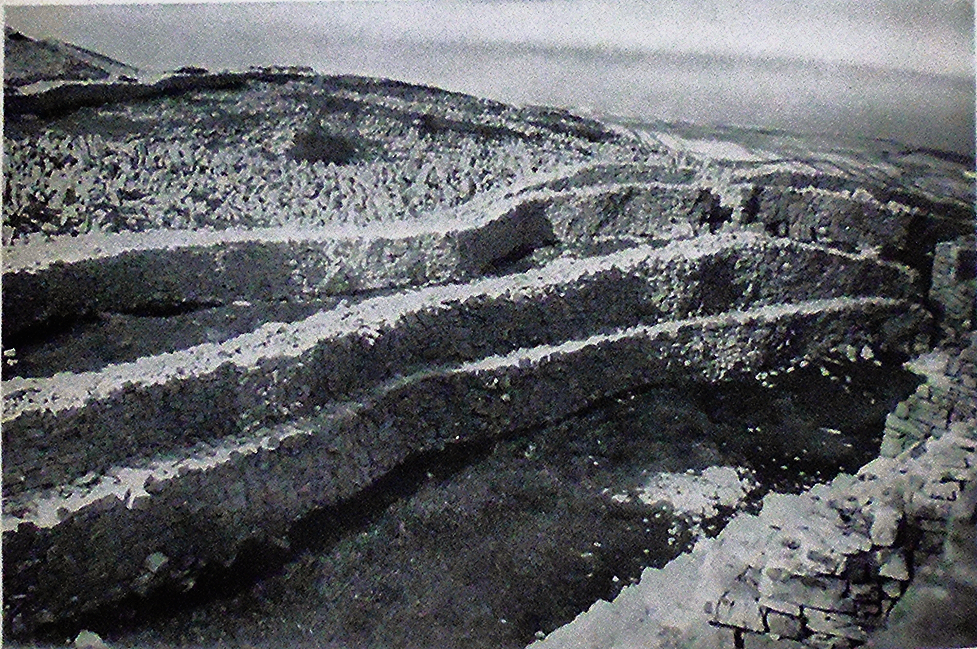
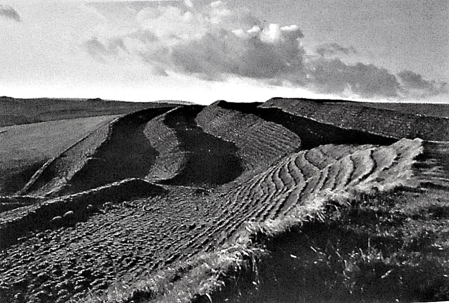
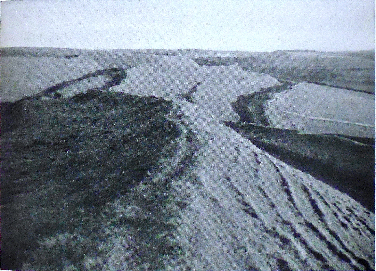
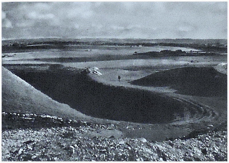
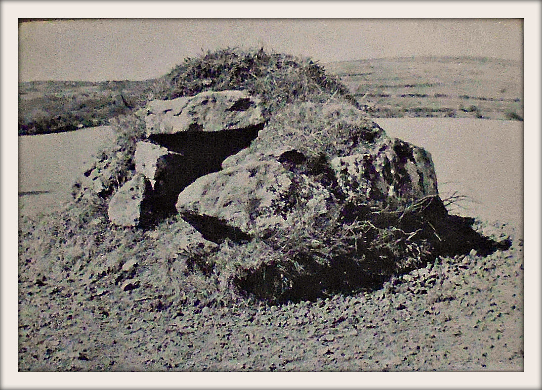
Old photo with a view of West Kennet Long Barrow from a distance.
The site, near Marlborough, is just one part of a much larger ancient complex of megalithic monuments, including Avebury, Silbury Hill, Stonehenge, Windmill Hill and Durrington Walls among others. The chalk and boulder-built long barrow was partially excavated in the middle of the 19th century, but, proper Archaeological excavations took place in the mid 195os at which time four burial chambers were excavated. After those more recent excavations, the long burial mound was restored to what it probably originally looked like. It is approximately 347 feet (106 metres) in length and nearly 8 feet (2.4 metres) high. Its chambers extend up to 40 feet (12 metres), while the now silted-up quarry ditches at either side of the barrow are some 30 feet away, but, were originally 12 feet deep and 20 feet wide. The site is in the guardianship of English Heritage but is managed on their behalf by The National Trust. There is “free” access inside the chambered long barrow during daylight hours. Another long barrow at East Kennet (NGR: SU 1163 6685) is on private land about 1½ miles to the southeast at Manor Farm, but, it is not as famous or as well-known, and it has trees growing out of it!
The National Trust & English Heritage publication of 1995 says regarding The History of the site: “It was recorded by John Aubrey, who included a sketch in his unpublished Monumenta Britannica of c1665, and described it ‘on the brow of the Hill, south of West Kynnet, is this monument, but without any name. It is about the length of the former [a barrow near Marlborough]; but at the end, only rude greyweather-stones tumbled together; the barrow is about half a yard high’. William Stukeley made more accurate drawings of the barrow between 1720-24, showing the ditch and the stones. Both Aubrey and Stukeley recorded that the barrow was regularly dug into by a local doctor, probably to supply bones for potions and medicines. Stukeley wrote: “‘Dr Took as they call him, has miserably defaced the South Long Barrow by digging half the length of it. It was most neatly smoothed out to a sharp ridge’”. Dr Toope wrote to Aubrey in 1685 telling him of his discoveries at the nearby Sanctuary, where he had found workmen digging up human bones. He wrote “I quickly perceived that they were humane, and came next day and dugg for them, and stored myself with many bushells, of which I made a noble medicine that relieved many of my distressed neighbours.” Aubrey noted that ‘Dr Toope was lately at the Golgatha again to supply a defect of medicine he had from hence’. At the barrow, much of the disturbance found by the 1955 excavations in the forecourt was probably caused by Toope’s diggings. Stukeley called it the ‘Archdruid’s barrow’ and described it as standing ‘east to west, pointing to the dragon’s head on Overton Hill [the] huge stones piled one upon the other … doubtless in order to form a sufficient chamber for the remains of the person there buried’.
“In 1859, Dr Thurnam excavated the central passage and end-chamber of the barrow in his search for skeletal material of the Ancient British (Crania Britannica, 1865). In 1882, the barrow, together with Silbury Hill, came under the protection of the first Ancient Monuments Act, and this finally stopped the damage done by local people digging for chalk or cutting turf from the mound. The barrow was most recently excavated by Piggott and Atkinson in 1955-56. Thurnam’s report of the single passage and chamber was inconsistent with evidence from other barrows, which had chambers off the main passage. The 1955-6 work revealed that, indeed, four small chambers, two on either side, were preserved as they had been left in the late Neolithic, 4000 years ago.”
The H.M.S.O. publication from 1970 tells us more about ‘The West Kennet Long Barrow’. It says: “This chambered tomb, the largest in England and Wales, lies about half a mile (0.8 km) south-west of the village of West Kennet. It is reached on foot from the Bath road along a path marked by a finger-post.
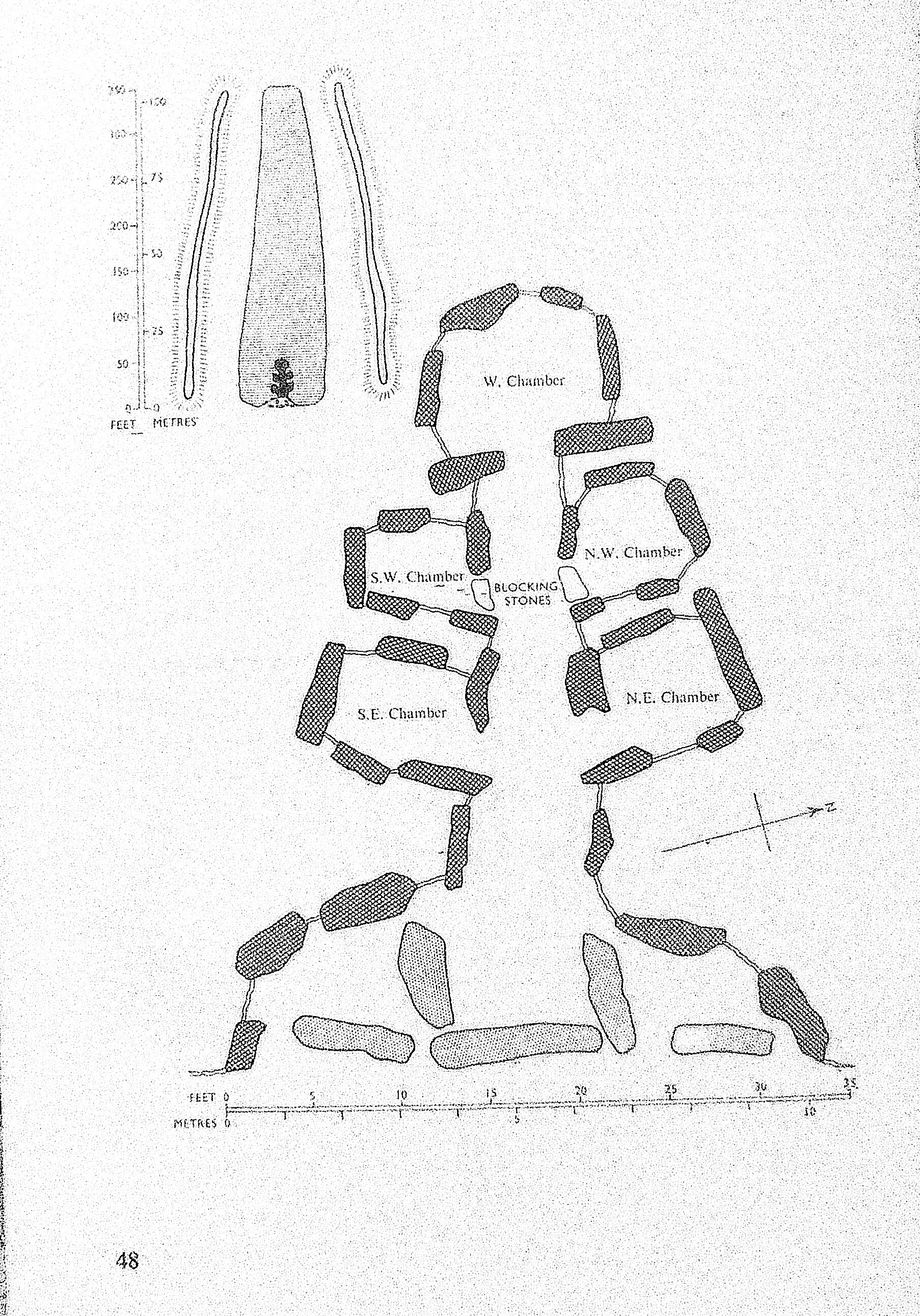
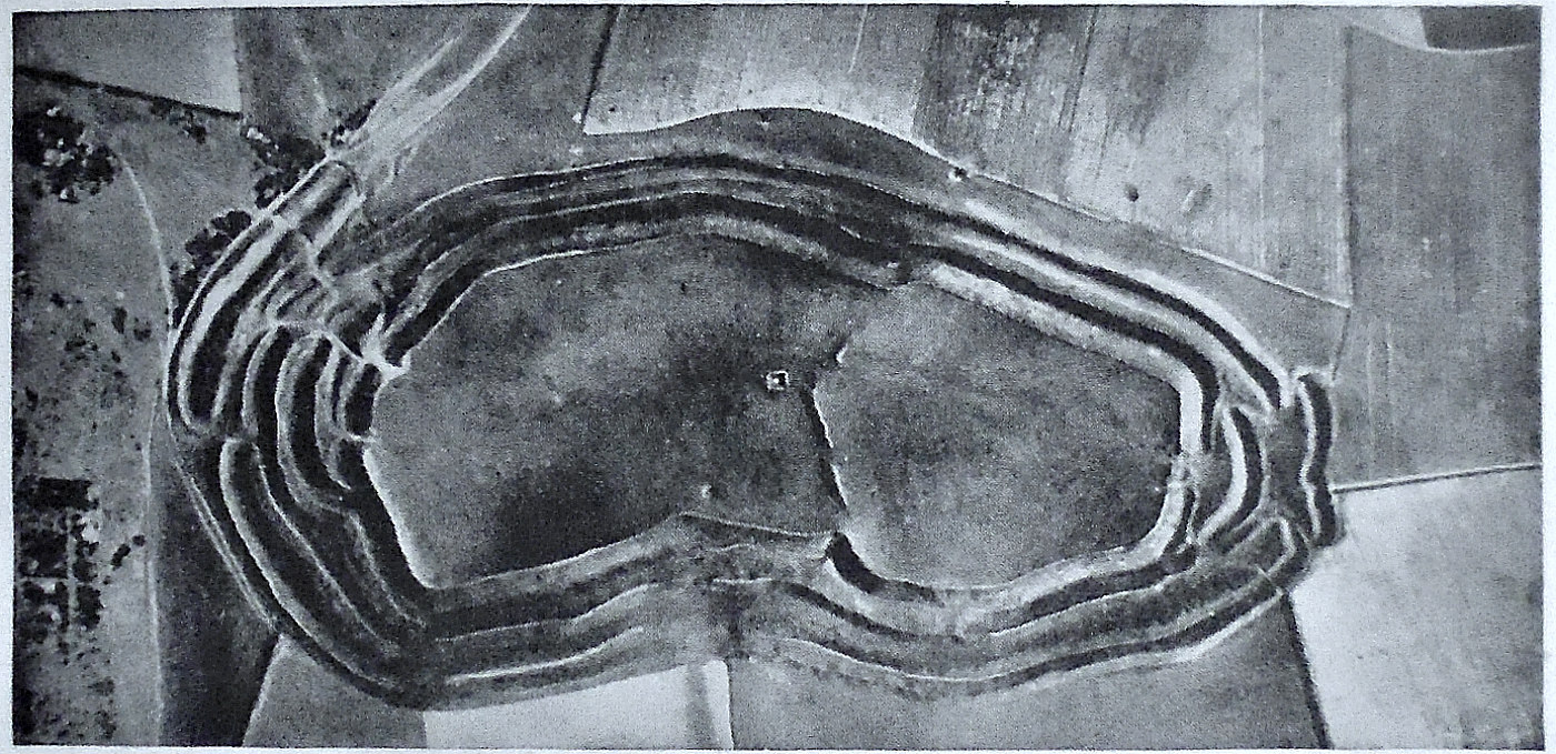
Two plans of West Kennet Long Barrow, Wiltshire.
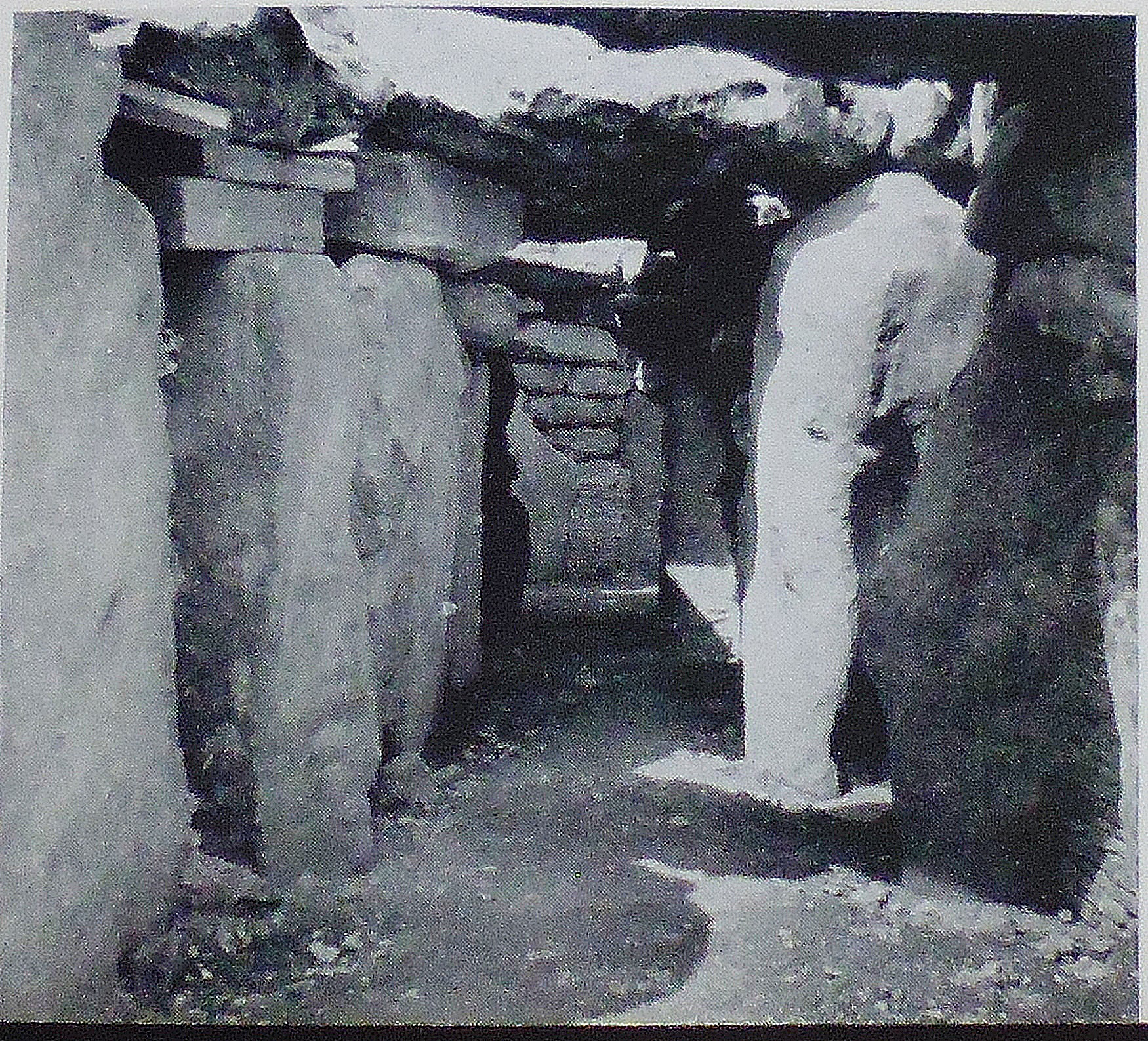
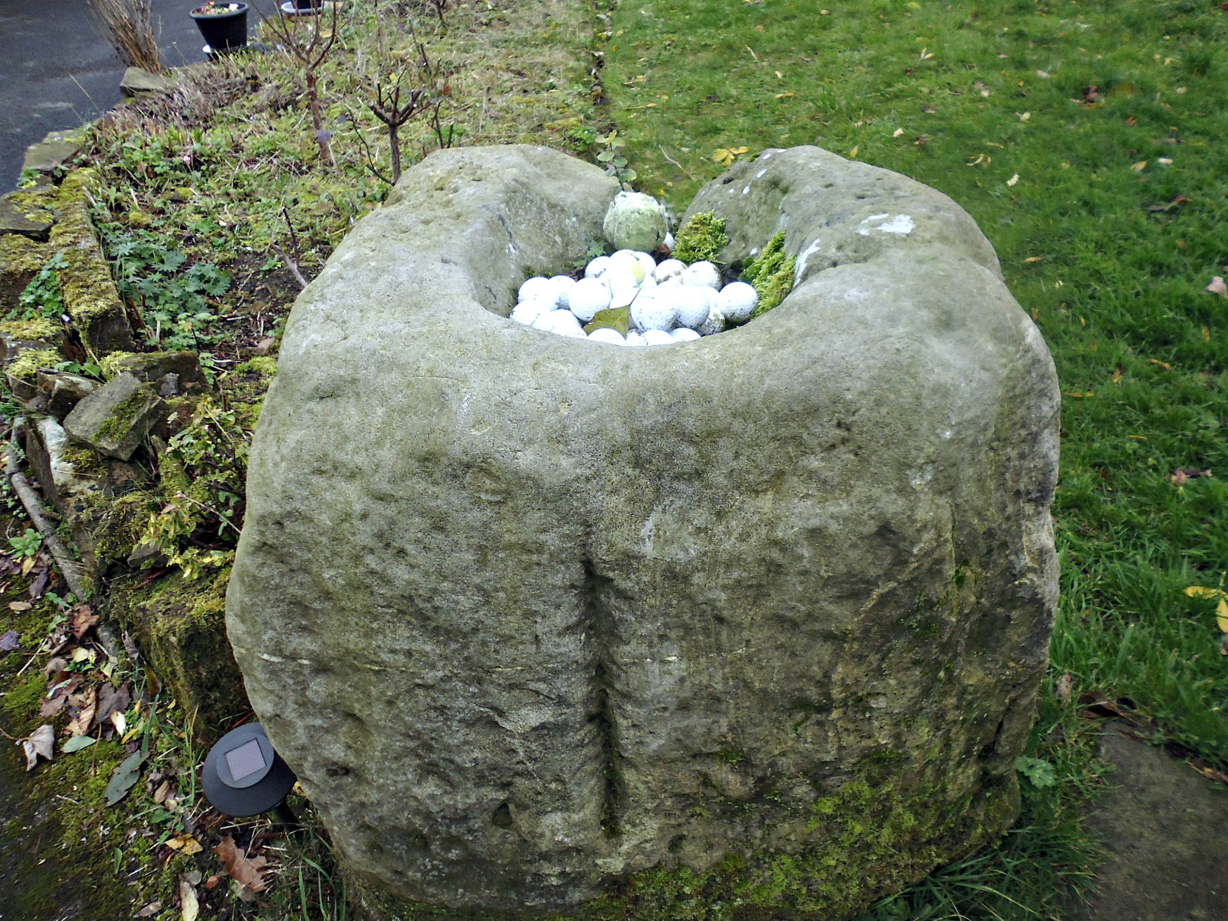
West Kennet Long Barrow (inside the passageway).
“The mound was considerably damaged in the 17th century, and was partially excavated in 1859. The excavation was completed and the tomb restored by the Ministry of Works in 1955-57. The mound is one of the largest known, measuring 350 ft. (107 m.) in length. It is made of chalk rubble dug out from a ditch on either side, now entirely silted up, piled over a core of sarsen boulders collected from the surface of the surrounding downs. The edge of the mound was originally marked, round the sides and back, by a line of boulders on end, but these have now all disappeared. The front of the mound at the east end is formed by a façade of large upright stones, with the spaces between them filled with walling of stones brought from seven or eight miles away to the west. In the centre of the façade is a semi-circular forecourt, set back into the mound and bordered by four large slabs set on edge, out of which the tomb chamber opens. The tomb itself consists of a long passage with two pairs of burial chambers opening off its sides and a larger chamber at the far end. The remains of about thirty skeletons, including ten children, were found on the floors of these chambers, and it is clear that they had been put in the tomb at intervals over a long period of time, the earlier deposits being swept unceremoniously aside to make room for new-comers. A good many bones, and especially skulls, seem to have been taken away while the tomb was still in use. Pottery vessels deposited with some of these burials show that the tomb was used, though perhaps not built, by the Primary Neolithic people. It was probably constructed about 2700 BC, and continued to be used for many centuries.
“After the last burial had been made, the whole tomb was blocked up in the most elaborate way. The chambers and passage were filled to the roof with chalk rubble containing numerous fragments of broken pottery and animal bones, and when this had been done the entrance-forecourt was first partially filled with boulders and then sealed off with three huge upright stones in line with those of the façade on either side, the centre stone being supported at the back by two uprights which continue the line of the passage. This final blocking seems to have been carried out by the local communities of Secondary Neolithic and Beaker people, who also built Avebury and the Sanctuary.”
The AA Treasures of Britain (1968) provides more information on the long barrow at West Kennet and the finds. They say it is: “The finest example of many similar Neolithic long barrows, or burial chambers, on the Downs of North Wiltshire, the West Kennet barrow near Marlborough was excavated by Professors Stuart Piggott and R. J. C. Atkinson in 1955-6. The pottery (now in the Devizes Museum) dates from about 3000 to 1600 BC, when the barrow was used for burials by migrant peoples from the Continent who brought with them the knowledge of farming. The pots [found here] were probably used to store grain and milk. Also found was a bell beaker dating from around 2000; two bowls of the Peterborough type; a late Neolithic culture and Windmill type, made by early farmers in Britain around 2500-1800 BC; also part of a Rinyo-Clactonian pot and pieces of broken vessels from various periods of prehistory.”
Sources / References & Related Websites:-
Photo (top left) is by troxx: https://commons.wikimedia.org/wiki/File:West_Kennet_Long_Barrow_entry.jpg
H.M.S.O., Stonehenge And Avebury, Her Majesty’s Stationary Office, London, 1970.
The AA, Treasures Of Britain – And Treasures Of Ireland, Drive Publications Limited, London, 1968.
The National Trust/English Heritage, The Prehistoric Monuments of Avebury, English Heritage, London, 1995.
https://www.english-heritage.org.uk/visit/places/west-kennet-long-barrow/history/
https://en.wikipedia.org/wiki/West_Kennet_Long_Barrow
https://www.megalithic.co.uk/article.php?sid=175&map=1
More info here: https://www.silentearth.org/west-kennet-long-barrow-wiltshire/
And more here: https://www.mysterious-wiltshire.co.uk/west-kennet-long-barrow/
Copyright © Ray Spencer, The Journal of Antiquities, 2023.


