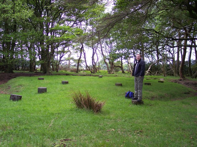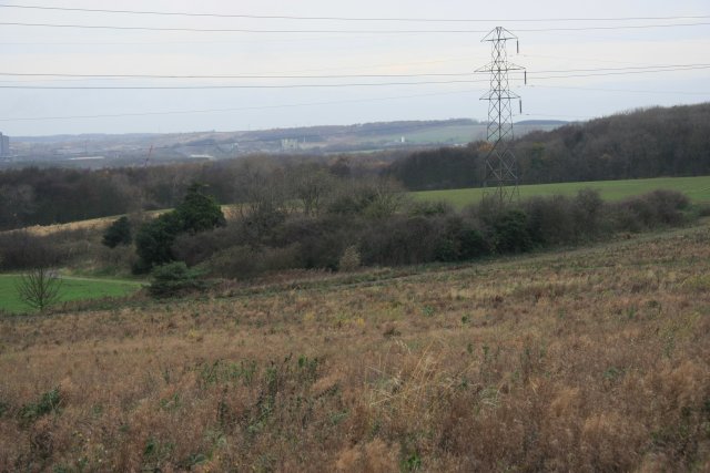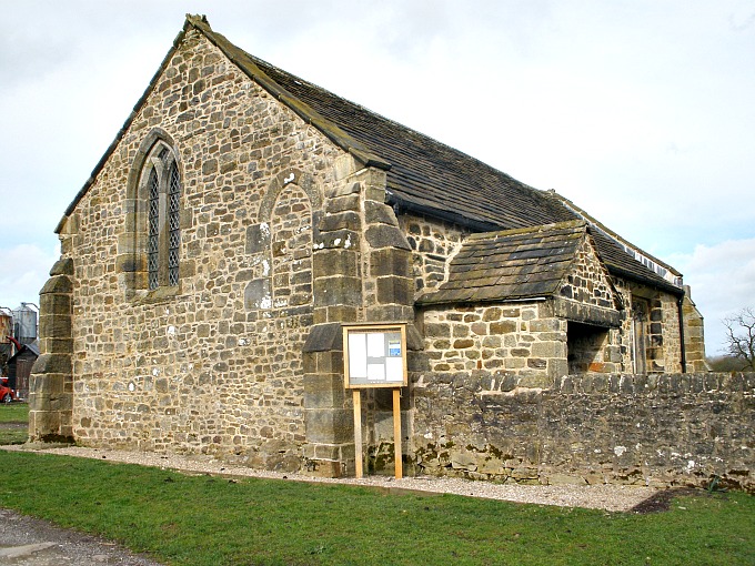
Ring Stones Hill Farm, near Catlow.
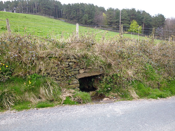
OS grid reference: SD 8933 3670. On the tops above Nelson, Lancashire, to the east and about halfway between Delves Lane and the hamlet of Catlow there is a farm called Ring Stones Hill, where up until about 1856 there stood a large stone circle, or maybe a cairn circle, but sadly there is no trace of this ancient monument today – the stones having been robbed-away to build walls and some perhaps incorporated into the out buildings of the farm. Nothing much has been recorded about this prehistoric stone circle, only the name survives. However, there may be stones belonging to this ‘now lost’ Bronze-Age monument in nearby walls, and one or two having being put into use as gateposts! Ring Stones Hill Farm, whose barn is ‘thought’ to be built over the stone circle, is situated roughly between Delves lane and Crawshaw lane to the south-west of Knave Hill. There is nothing to see, only fields, although on closer inspection there is a scattering of stones buried in the ground in a sort of circular fashion in the field just to the east, close to Pathole beck. Catlow is about half a mile from here along Crawshaw Lane, Walton Spire (Walton’s Monument), which is partly a Dark Age monolith, dating perhaps from the 10th century, stands just to the north, while the town of Nelson is 1 mile to the west.
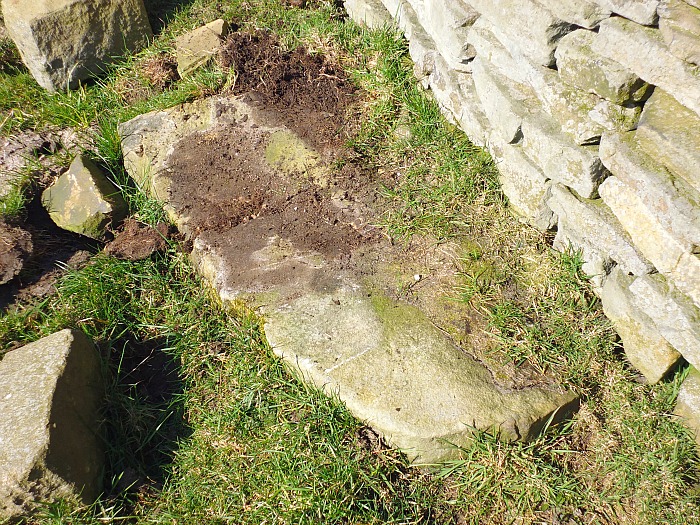
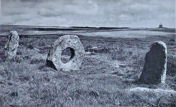
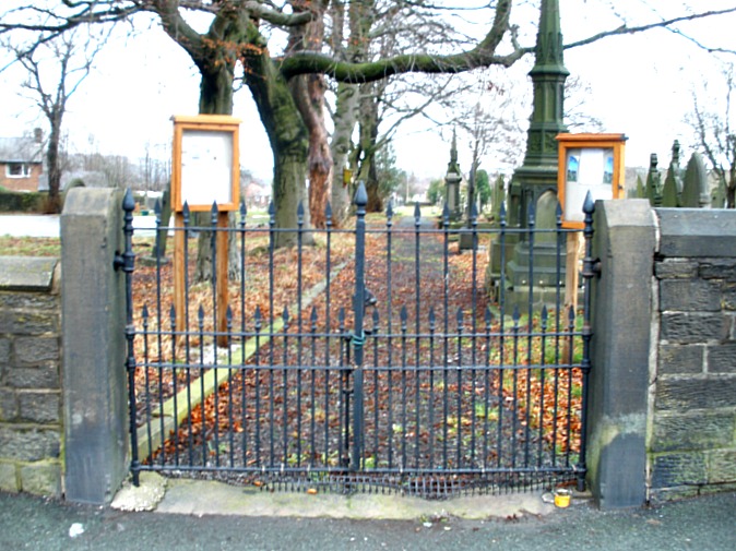
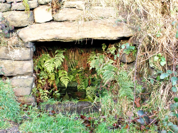
Recumbant Stone, near Ring Stones Hill.
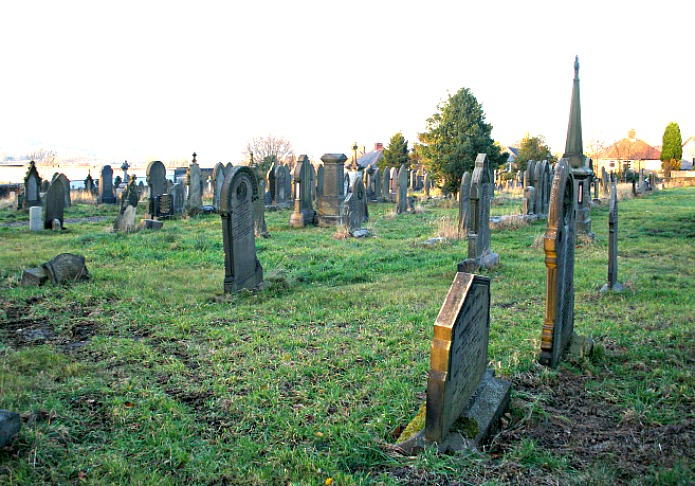
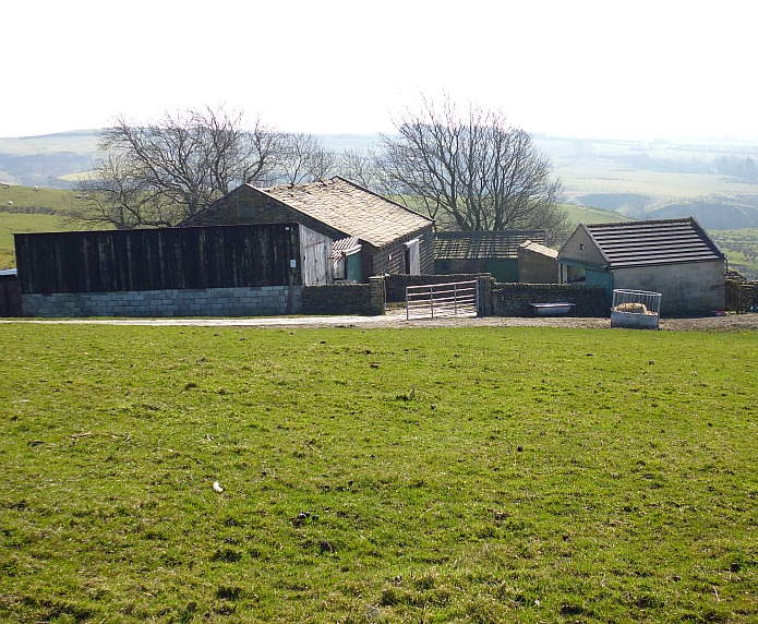
In the book ‘Historic Walks Around The Pendle Way,’ 1990, local authors John Dixon and Bob Mann give an interesting insight into Ring Stones Hill saying: “Nestled above Pathole Beck is the whitewashed farmstead of Ringstones Hill, a 17th century building displaying many fine mullioned windows. Up to around 1850 a large circle of stones stood next to the house, sadly the circle was dismantled when the present barn was built with only the name to give memory to the former monoliths.” A large stone on the ground below the wall-stile which gives access to the field from Delves lane is of interest. Could this be one of the stones that formed the stone circle? Maybe. Just to the right of this path on the shoulder of the hill there is a very faint earthwork of what is possibly an ancient burial mound. Authors John Dixon and Bob Mann mention this in their book ‘Historic Walks Around The Pendle Way’. They go on to say: “What could be a burial mound is sited in a field above the farm at SD 89263693. This is in the form of a small mound, 3m. in diameter.”
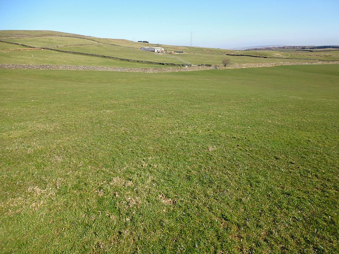
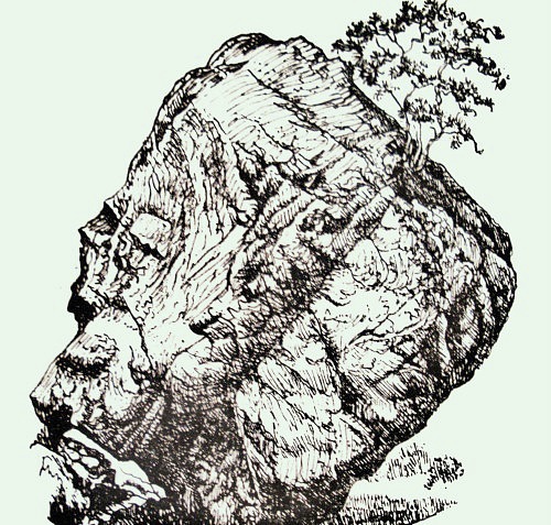
Site of burial mound near Ringstones Hill Farm.
The origins of the name Catlow are somewhat confused. Cat could be an Old British word ‘catu’ meaning ‘war’ or ‘battle’, and similarly the Celtic word ‘catt’ also means ‘battle’, whereas ‘low’ is usually taken to mean mound or henge; so here we have ‘battle at or near the henge’. And ‘cat’ might also refer to ‘feral cats,’ oddly enough! Over the years there have been a number of archaeological finds in and around Catlow Quarries and also in the vicinity of the ancient hamlet. In 1854 two decorated cremation urns were dug up by quarry workmen, and in 1845, a Bronze-Age tanged spear or dagger was excavated in Catlow, and in 1954 a third cremation urn was discovered to the south of the quarries; these were of the Pennine type that are called ‘collared’ urns, dating from the middle to late Bronze-Age. There have also been a few finds of Roman coins in this area and also at Castercliffe, about 1 mile north of Catlow.
Sources:
Dixon, John & Mann, Bob., Historic Walks Around The Pendle Way, Aussteiger Publications, Barnoldswick, 1990.
The Northern Antiquarian: http://megalithix.wordpress.com/2013/12/14/ring-stones-hill/
Copyright © Ray Spencer, 2014.