
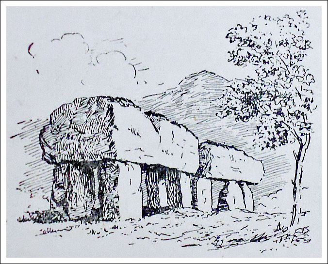
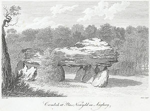
Cromlech at Plas Newydd, in Anglesey (Old Drawing)
OS grid reference: SH 5198 6972. Plas Newydd prehistoric burial chamber, cromlech or dolmen, stands just 300 metres north-east of the shoreline of the Menai Straits – at the south side of the island of Anglesey and, just opposite Plas Newydd House and Country Park – in whose “private” grounds it is situated. The site is 1½ miles south-west of Llanfair P.G. village and Menai Bridge, which links the Welsh mainland to the island. After the Menai Bridge and link road, take the A5 road, then the A4080 (Ffordd Brynsiencyn) road to the south-west for 1 mile. Take the first lane that runs off this road (south) to the NT Plas Newydd House. The ancient monument is just 150m to the south-east of the car park and on private land in front of the big house! And ½ a mile to the south, at the edge of the country park, is a second ancient monument, Bryn-yr-Hen Bobl, which is a chambered cairn.

Cromlech at Plas Newydd, Anglesey by Caroline Metz, 1799, Wikipedia)
There are actually two burial chambers next to each other here, the larger one having a gigantic oblong-shaped capstone weighing many tonnes and measuring 3.5m x 3m, which is supported by five large and sturdy uprights, whereas the smaller chamber’s capstone is 2m x 1.7m and is supported by three smaller, round-shaped boulders. It would seem that the smaller monument acted as an antechamber (passage-way) to the larger monument. These burial chambers are said to date from the Neolithic age. Nearby, there are some boulders embedded in the ground – they are probably outliers – and maybe an indication that the burial site once covered a larger area than it does now. There is no sign today of the large earthen mound that would have originally covered these monuments, or did each burial chamber have its own separate covering mound?
Author Christopher Houlder in his work ‘Wales: An Archaeological Guide’, says of the site: “In parkland overlooking the Menai Strait is a megalithic tomb consisting of a main chamber 3 m by 2.4 m and a smaller antechamber, each with its own capstone, but there is no mound or other feature to give cultural definition.”
And likewise, author Jacquetta Hawkes, in her book ‘A Guide To The Prehistoric And Roman Monuments In England And Wales’, says of the site: “The Plas Newydd dolmen stands at the end of the drive between the mansion and a cricket field where it commands a view across the Straits. In such a place it at once suggests an eighteenth-century folly, an ornament to the house put up by some romantically minded peer. In truth, however, it is a genuine prehistoric monument of a rather unusual kind; there are two adjacent chambers, one larger than the other, with very massive uprights and capstones, separated by a single upright. It is possible, though not to my mind likely, that the smaller chamber was originally a passage or antechamber giving access to the larger.”
Plas Newydd burial chamber was first marked as a cromlech on the OS map of 1841 and as Burial Chamber on the 1947 map, and later ones. There was apparently an early reference and illustration in ‘Druidical Antiquities’ published by S. Hooper in April 1784, which shows two capstones with the larger one resting on five uprights, according to Chris Barber in his work ‘The Ancient Stones of Wales’.

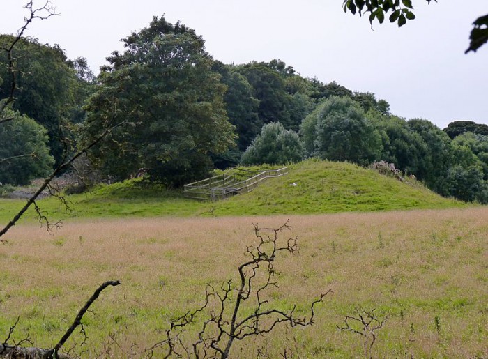
Bryn-yr-Hen-Bobl (photo credit: Robin Leicester – Wikipedia)
About ½ a mile to the south (OS grid ref: SH 5189 6900) and at the edge of the country park, there is another ancient monument. Again, it is on private land. This is Bryn-yr-Hen Bobl, a kidney-shaped grassy mound with a couple of trees on it – and a chambered cairn and funnel-shaped forecourt facing E. There is a revetted terrace some 12m wide extending 100m to the S. This megalithic burial tomb was excavated back in 1929, at which time some ‘earlier’ Neolithic artefacts were found, including stone axes, plain ‘western’ and Peterborough types of pottery. “The tomb contained the remains of at least twenty individuals”. (Houlder, 1978)
Sources:
Barber, Chris & Williams, John Godfrey., The Ancient Stones of Wales, Blorenge Books, Abergavenny, Gwent, 1989.
Hawkes, Jacquetta., A Guide To The Prehistoric And Roman Monuments In England And Wales, Cardinal, London, 1975.
https://commons.wikimedia.org/wiki/File:Bryn-yr-Hen-Bobl_Burial_Chamber,_Plas_Newydd,_Anglesey.jpg This photo is displayed under the terms of the Creative Commons Attribution-Share Alike 4.0 International license.
https://en.wikipedia.org/wiki/Plas_Newydd_(Anglesey)
http://www.coflein.gov.uk/en/site/93829/details/PLAS+NEWYDD+BURIAL+CHAMBER/
Houlder, Christopher., Wales: An Archaeological Guide, Faber, London, 1978.
Copyright © Ray Spencer, The Journal of Antiquities, 2016.
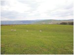
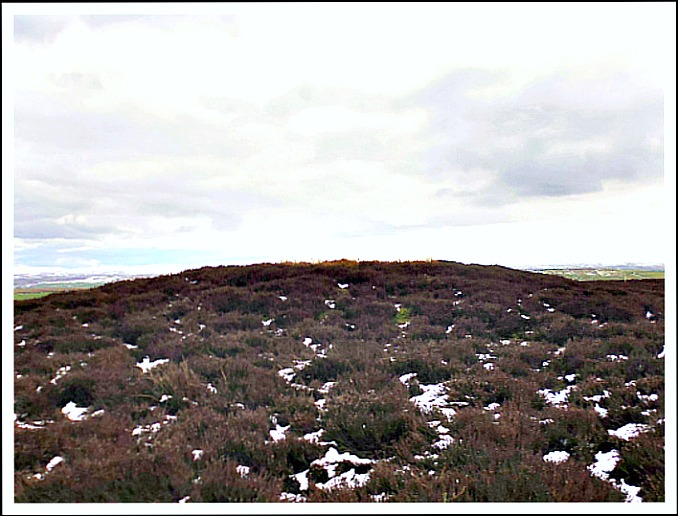
Babyhouse Lane Settlement from the south-west.
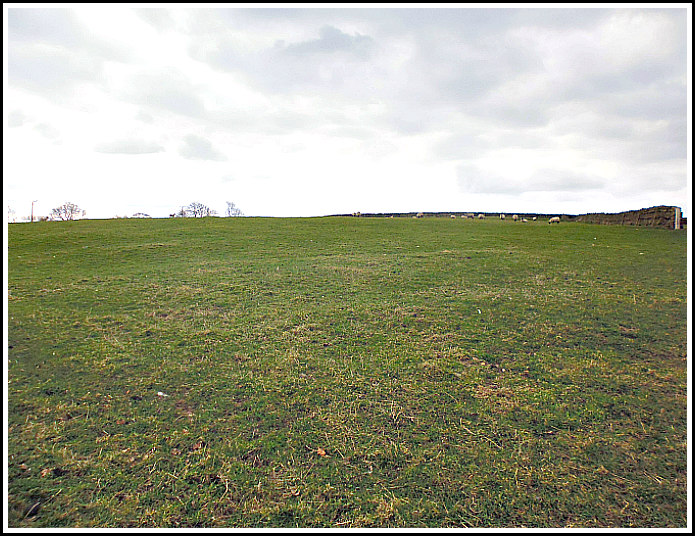
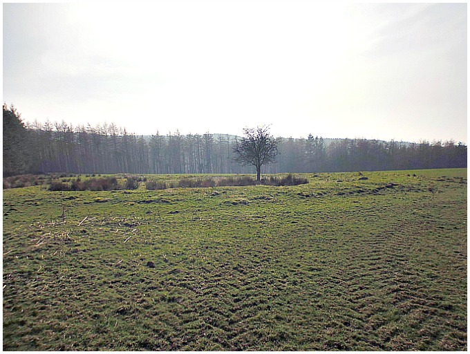
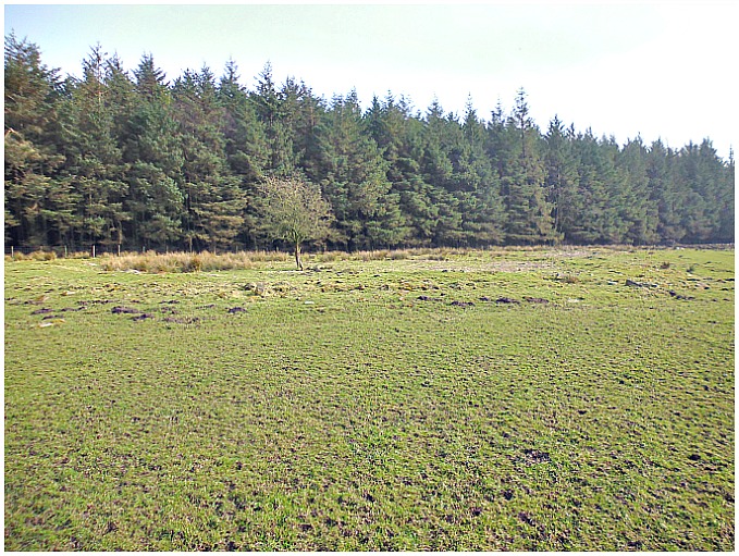
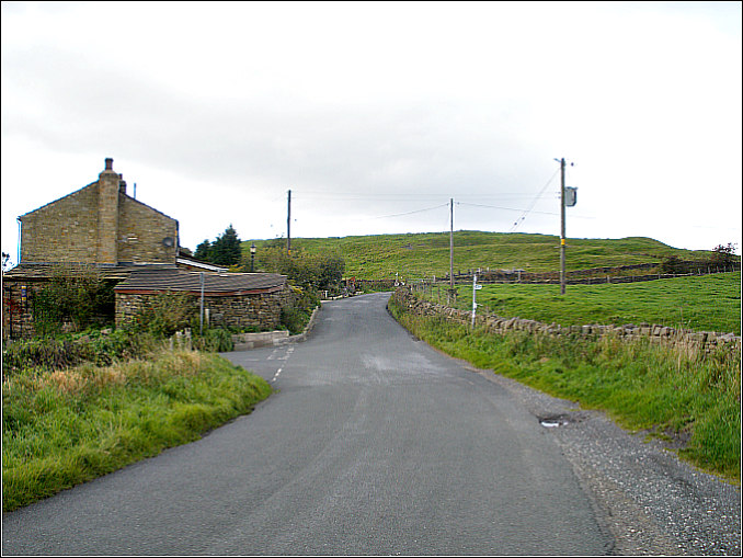
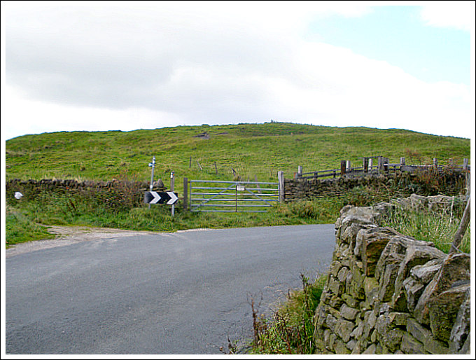
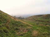
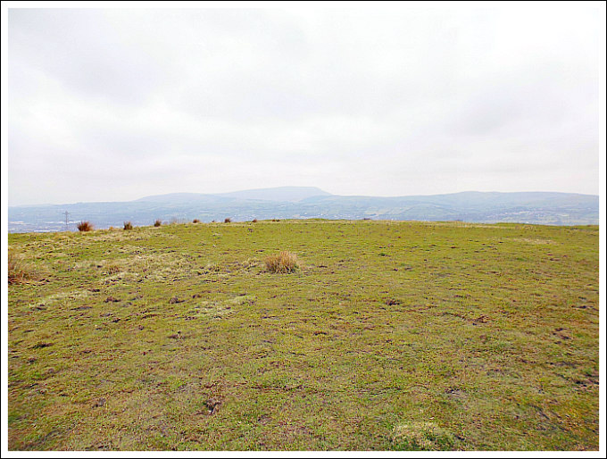
OS grid reference: SD 9719 4628. On the hills a mile or so to the south-west of Cononley, North Yorkshire, near the top end of Babyhouse Lane, there is an Iron Age settlement or camp. This is thought to have been a Brigantian outpost that was still in use in the late 1st century AD when Roman soldiers marched along the Roman road to the south-west and set up their fort at Elslack. For a time, the Brigantes got on to some extent with the Romans, but that was not to last for long and their settlements were soon to be abandoned, forever. Babyhouse Lane can be reached from Colne Road (A6068) near the Dog & Gun public house at Glusburn. Take the lane up onto Leys Lane, turning left at the top onto Babyhouse Lane, and then just after the junction of four lanes and the wooded area on the right, go through the second farm-gate and into the large walled field – here before you are the faint and grassy earthworks of the ancient settlement.
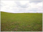
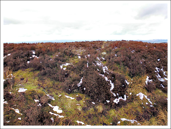
Babyhouse Lane Settle-ment viewed from SE.
At ground level, there isn’t a great deal to see apart from a few raised areas (low ramparts) in the middle of the field and, what are probably ditches around the edges; and the earthworks continue just beyond the wall at the N side. This pentagonal-shaped settlement measures approx. 91m x 85m and covers an area of just over 1 acre. At the W and S sides the ditch is more prominent – just before the land rises forming the bank (which seems not to be part of the earthwork), while over at the E side there is what could be an entrance. The settlement appears to be strategically placed to overlook the Aire Gap to the north-west. And the modern-day walls surrounding the earthworks give this former Brigantian, possible Romano-British settle-ment, the look of “still” being an enclosed site, even if today it is only to keep the sheep in! Sadly, nothing much else is known about this site.
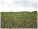
Babyhouse Lane Settlement viewed from the East.
The late John Dixon in his work ‘Journeys Through Brigantia’ , Volume One, says of the settlement here: “Just down Babyhouse Lane, over on the left, are the earthwork remains of an Iron Age/Romano-British settlement site, the earliest home of man in the area, being a pentagonal dtched earthwork with an entrance on the east and covering just over one acre.” While the author and antiquarian Harry Speight considered the ancient settlement on Babyhouse Lane to be of Danish origins. There are indeed some Scandinavian place-names around this area. Cononley is named after King Canute, according to Mr Speight. But it would seem that this is a late Iron Age-Romano-British site; and there are similar earthworks at Higher Scarcliff and Catlow Gill near Carleton Lane Head, a couple of miles to the north.
Sources:
Dixon, John & Philip., Journeys Through Brigantia, Volume One, Walks in Craven, Airedale and Wharfedale, Aussteiger Publications, Barnoldswick, 1990.
Check out this web blog by Jim Jarratt: http://www.jimjarratt.co.uk/walks/beaconsway/section2.html
Copyright © Ray Spencer, The Journal of Antiquities, 2016.

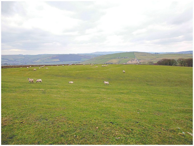
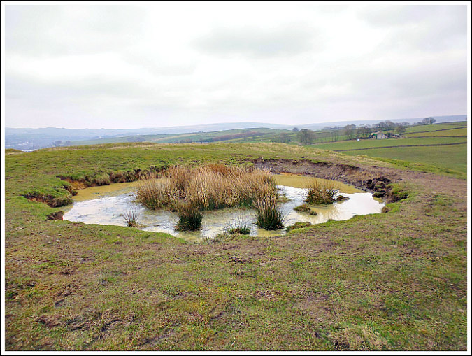
Standrise Earth Circle/Enclosure, near Carleton-in-Craven.
OS grid reference: SD 9418 4846. Standrise Earth Circle is located above Elslack Reservoir at the north-west side of Standrise Plantation, some 2 miles south-west of Carleton-in-Craven, North Yorkshire, there is a large Iron-Age earth circle or enclosure. This quite well-defined earthwork stands upon Elslack Moor. And 160m to the north-west, another, smaller enclosure is visible. The site can be reached from the country lane between Colne and Carleton-in-Craven, turning left just after the plantation onto Moor Lane, and just after the track to Mitton House go through the gate on the opposite side of the lane, then via left up the steep hill following the edge of the plantation until you reach a flat area of land, where directly in front of you is the ancient earth circle/enclosure. You can also reach it by heading east out of Elslack and coming up by way of Mill Fold.

Standrise Earth Circle / Enclosure, near Moor Lane.
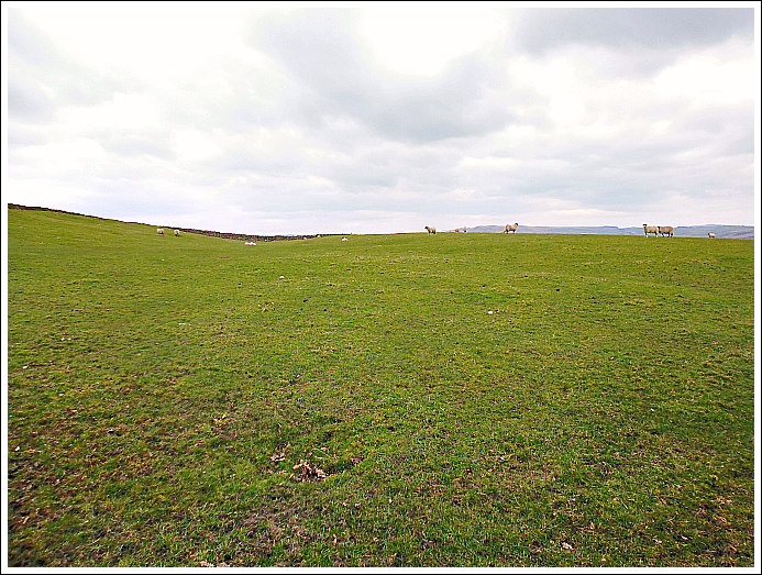
The earthwork is almost a perfect circle – but how did our ancient ancestors do that? It measures 34m across and 35m vertically (38 yards x 39 yards) and has an outer bank made of soil and stones, many of these stones being small boulders; the circular, raised bank is over 1 foot high in places and is quite a substantial construction. The stones that are scattered about the circle are the remnants of a wall that once traversed the eastern side of the earthwork. Near the centre of the circle are traces of a raised area, which could well have been a hearth. And there is a solitary tree near the middle of the circle! Could this ancient enclosure have been a Brigantian settlement that was in use prior to the Roman Conquest? Maybe it was the residence of a chieftain? A couple of miles to the west, we have the earthworks of ‘Burwen Castle’ Roman fort at Elslack, which was built in 80 AD, at a time when the Brigantes tribe held sway over the area, though this would soon turn in favour of Rome. This perhaps also saw the final abandonment or destruction of these Iron Age settlements.

Standrise Earth Circle (outer bank).
160m to the north-west, near the crest of the hill at (OS grid ref: SD 9406 4861), there is a smaller circular enclosure, but very similar in construction to the other. This small circle measures approx. 14m x 15m. There is another earthwork or enclosure about 1 mile to the north-east at Higher Scarcliff, near Carleton Lane Head, and there is a possible cairn circle on the moor, above Rushbank farm, ½ a mile to the south-west of that. There are many other ancient enclosures and earthworks scattered around the Carleton, Lothersdale and Skipton areas, but too many to mention here.
The late John Dixon in his excellent book ‘Journeys Through Brigantia’, Vol 1, says that: Moor Lane which runs along the north-east side of Standrise Plantation over to Street Head farm, near Lothersdale, was probably a “minor” Roman road linking Keighley to Burwen Castle Roman fort at Elslack, which he calls Margery 721 or the M721!
Sources:
Dixon, John & Philip., Journeys Through Brigantia, Volume 1, Walks in Craven, Airedale and Wharfedale, Aussteiger Publications, Barnoldswick, 1990.
http://www.archiuk.com
http://www.archiuk.com/cgi-bin/web-archi.pl?
http://www.megalithic.co.uk/article.php?sid=35748
Copyright © Ray Spencer, The Journal of Antiquities, 2016.

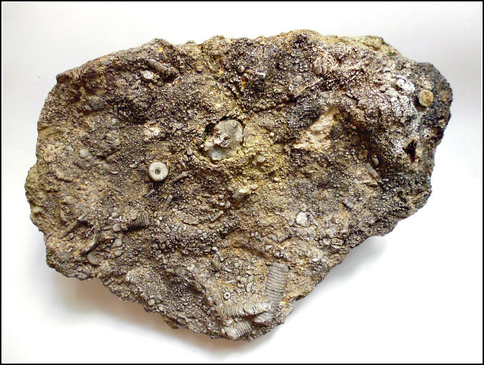
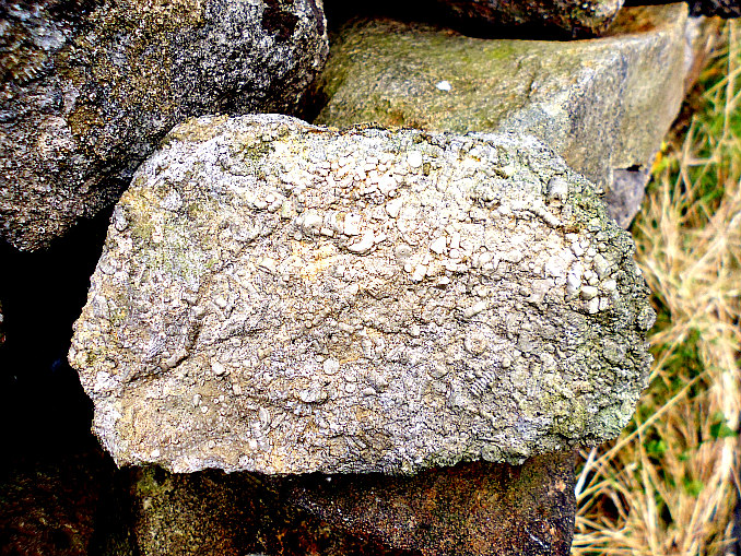
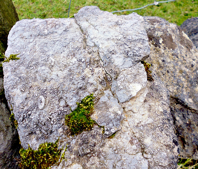
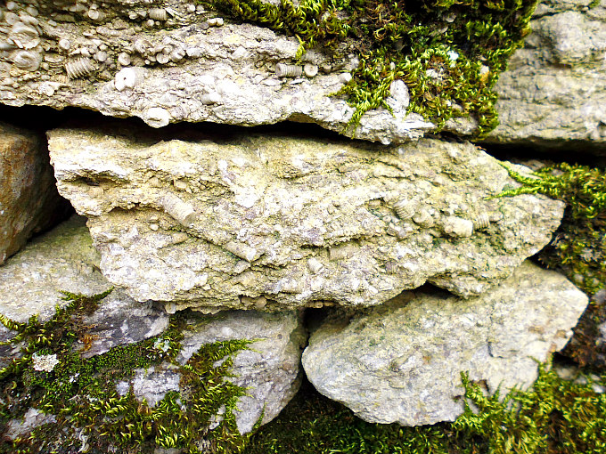
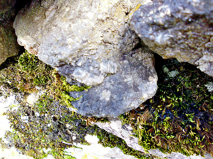
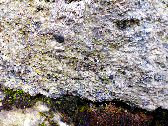
Rock with Crinoid Fossils From Twiston, Lancashire.
OS grid reference: SD 80919 44434. Something of a curiosity this one, maybe. In the wall along a stretch of the lane that runs through the long, narrow valley between Twiston and Downham, at the north-western side of Pendle Hill, in Lancashire, are lumps of locally quarried ‘Fossiliferous Limestone’ made up of crinoid and coral fossils, which date back some 500-300 million years to the Carboniferous period in Geological history. But what a delight it is to just wander along the lane looking at the fossil-covered stones that make up the walls, and there are literally thousands and thousands of them to be seen here.

Rock with fossils at Twiston Nr Downham
These crinoid fossils are very varied in shape and form, but they are in essence tiny marine creatures which originated from the sea – so we know without doubt that this area was under water millions of years ago, with perhaps only the top of Pendle Hill visible at that time. The stones that make up the walls in Twiston may have been quarried from the Limestone ‘reef knolls’ – of which there are several in the Twiston and Downham area, or perhaps from Peach Quarry at Clitheroe (Os grid ref: SD 7569 4263). This quarry has now been filled in and grassed over. These ‘reef knolls’, as the name suggests, were also under-water millions of years ago.
There are ‘still’ three 19th century lime kilns in the Downham area; one of these stands beside the lane at Twiston, all of which points to the fact that Lime, in the form of a powder or “cornbrash”, was a much used local neccessity on farmers’ fields in the Pendle area, and is still used by local farmers today.

Rock with Crinoid Fossils, Twiston.
A significant feature of the valley landscape between Twiston and Clitheroe is the abundance of Crinoid Fossils in the stones making up the walls of field boundaries. This type of stone is called ‘Reef Limestone’. Crinoids are sometimes referred to as ‘sea lilies’ because of their resemblance to a plant or flower. In parts of England, the columns forming the stem were called ‘fairy money’, and their star-shaped cross sections was associated with the sun by ancient peoples, and given religious significance; indeed ancient people were said to be frightened by these strange fossil forms, as they did not know or realize what they were, and where they had originated.
Crinoids are in fact marine animals belonging to the phylum Ecinodermata and the class Crinoidea. An array of branch-ing arms (brachials) is arranged around the top of a globe-shaped, cup-like structure (calyx) containing the mouth and main body of the animal. In many fossil forms the calyx was attached to a flexible stem that was anchored to the seabed.
The phylum Echinodermata includes the starfish, sea urchins and sand dollars. The crinoids are a breed apart however, as they resemble an underwater flower. Some even have parts that look and act like roots anchoring them to the ocean floor. They are commonly called ‘sea lilies’. Their graceful stalks can be meters long. Other varieties have no stalks or root- like parts. They are commonly known as feather stars. Unlike the sea lilies the feather stars can move about on tiny hook- like structures called cirri.

Rocks with fossils at Twiston, Lancashire.
Crinoids are still with us, but they are also some of the oldest fossils on the planet. They flourished in the Palaeozoic Era 541-254 million years ago. Although sometimes different in appearance from their fossil ancestors, living forms provide information about how fossil crinoids must have lived. The earliest come from the Ordovician the second period in the Palaeozoic. At least the earliest that everyone agrees on. There is a class called Echmatocrinus that date back to the middle of the Cambrian Period the first period in the Palaeozoic, but most palaeontologists don’t count them to be true Crinoids. Most of the Palaeozoic forms died out in the Permian the final period in the Palaeozoic Era. The few species that survived into the Mesozoic Era thrived. Many new species evolved during this time including the ancestors of the present-day class Articulata.

Rock with Crinoid fossils at Twiston.
These echinoderms created ‘forests’ on the floor of the shallow seas of the Palaeozoic and Mesozoic Era’s. There were so many in places, that thick limestone beds (reefs) were formed almost entirely from their body parts piled on top of each other. Crinoids fossilized readily and so there is an abundance of them to be found, mostly stalk fragments as in the photos. There are two reasons for this – the ocean floor is a good environment for fossilization to occur and Crinoid skeletons are made of calcareous plates.
Crinoids of today tend toward deeper waters. The stalked varieties are usually found in water over 200 meters deep, though some can be found 100 meters deep. The unstalked varieties, comatulids also live in deeper waters though generally not as deep as the sea lilies.
A reef knoll of which there are seven examples between Twiston and Clitheroe is a large pile of calcareous material on land that accumulated on the ancient sea floor, and was subse-quently uplifted due to the movement of the earth’s techtonic plates. At the time of this accumulation it may have had enough structure from organisms such as sponges to have been free-standing and to withstand the sea currents as material accumalted, and was probably an atoll. Another possibility is they are the remains of deep water coral. Such structures are thus often fossil rich.
These structures are often most clearly seen where the surrounding rocks are much softer and so can be eroded leaving the charcteristic knoll shaped hill features; Examples in the Yorkshire Dales lie on the north-side of the Mid Craven Fault. There is one set located around Thorpe (Skelterton, Butter Haw, Stebden, Elbolton, Thorpe Kail, Myra Bank and Hartlington Kail); another set is located around Malham (Burns Hill, Cawden, and Wedber); and also a set around Settle (High Hill and Scaleber).

Limestone Reef Knoll near Downham in Lancashire.
The ‘Reef Knolls’ between Twiston and Clitheroe date from the Lower Carboniferous Period (358-323 Million Years ago) and have been subjected to numerous studies (the Carboniferous was the fifth period of the Palaeozoic Era). They were first described by Tiddeman (1889) who applied the term “reefs”. Subsequent workers (Parkinson 1926; Black 1952-54; Bathhurst 1959) all subscribed to the same name. They all believed that the knolls were composed of bio-organic material formed on a sinking sea floor with beds on all sides of the knolls showing an original dip away from the central core. In 1961 during the re-survey Earp raised objections to this hypothesis because of the apparent lack of reef-building faunas such as corals etc. to form the required wave-resistant structures and conglomerates, which should be present around such large knolls.

Rock with Crinoid Fossils at Twiston, Lancashire.
Then in 1972 the story of the Clitheroe Reefs would take a step forward with the work of Miller & Grayson following another re-survey of the linear knolls, which run from Twiston to Clitheroe (including Sykes, Gerna, Worsaw Hill the highest at 300 feet, Crow Hill at 100 feet high, Bellman/Salt Hill the longest at about 1 mile, and Castle Hill). They proposed that the knolls were formed as water lime-banks essentially mud banks upon which crinoids would have thrived their dead deposits accumulating over time, and then as the deposits were uplifted the surrounding shale (solidified mud) eroding to leave the ‘Reef’ Knolls as low hills in the landscape. Over the years they have been called many things: Reef Knolls, Bioherms, Knoll Reefs and Coral Reef Knolls. Following the re-survey however, the Clitheroe reefs are now termed ‘Waulsortian Mudmounds’ – as they were first described in a Belgian Geological Survey.
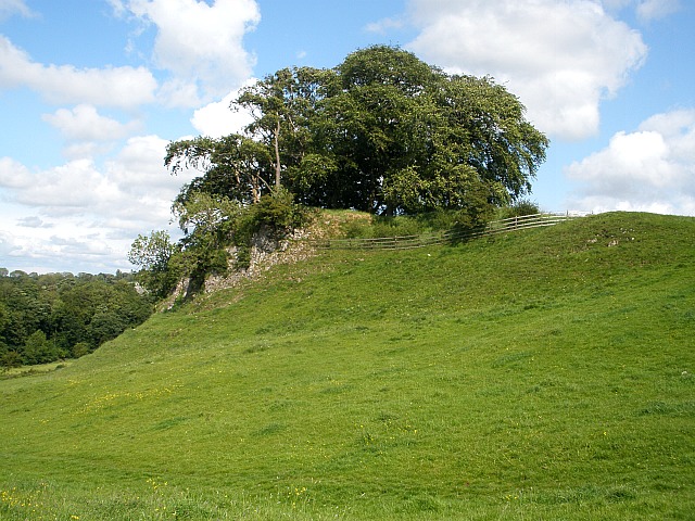
The Worsaw Hill reef knoll at Downham (OS grid ref: SD 7792 4322) has a Bronze-Age burial mound on its south-side and a cave near its base at the north-west side. And Worsaw End Farm was the setting for the 1961 film ‘Whistle Down The Wind’.

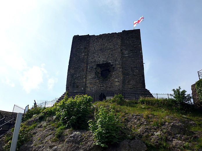
Clitheroe Castle.
The focal point of Castle Hill, Clitheroe, is now the ancient Norman Keep. It is one of the smallest in England and one of the first stone buildings in Lancashire following the end of Roman Occupation. It was built by Roger de Poitou, who was the first Norman Lord of Clitheroe. The mound is comprised of light grey, unbedded micritic limestone, heavily jointed and calcite veined. Crinoid fossils together with gastropods and brachiopods can be seen. In the castle grounds is the Clitheroe Castle Museum and café. Over time the ‘Reefs’ and surrounding deposits have been quarried for stone – as at Salt Hill and Lane End. Such stone was then used for the walls which surround the fields in the area ‘in question’ between Twiston and Clitheroe.
Sources:
British Geological Survey HYPERLINK “http://www.bgs.ac.uk” http://www.bgs.ac.uk (Crinoids)
Chinery, Michael., A Pictorial Dictionary Of The Animal World, Sampson Low, Marston & Co. Ltd., London, 1966.
Roberts, John L., A Photographic Guide to Minerals, Rocks And Fossils, New Holland (Publishers) Ltd., London, 1998.
http://www.fossils-facts-and-finds.com (Crinoids)
‘The Clitheroe Reef Belt’, Craven and Pendle Geological Society, 2006.
http://www.kabrna.com/cpgs/craven/reef_belt.htm
© Ray Spencer, The Journal of Antiquities, 2016 (up-dated 2020).
