
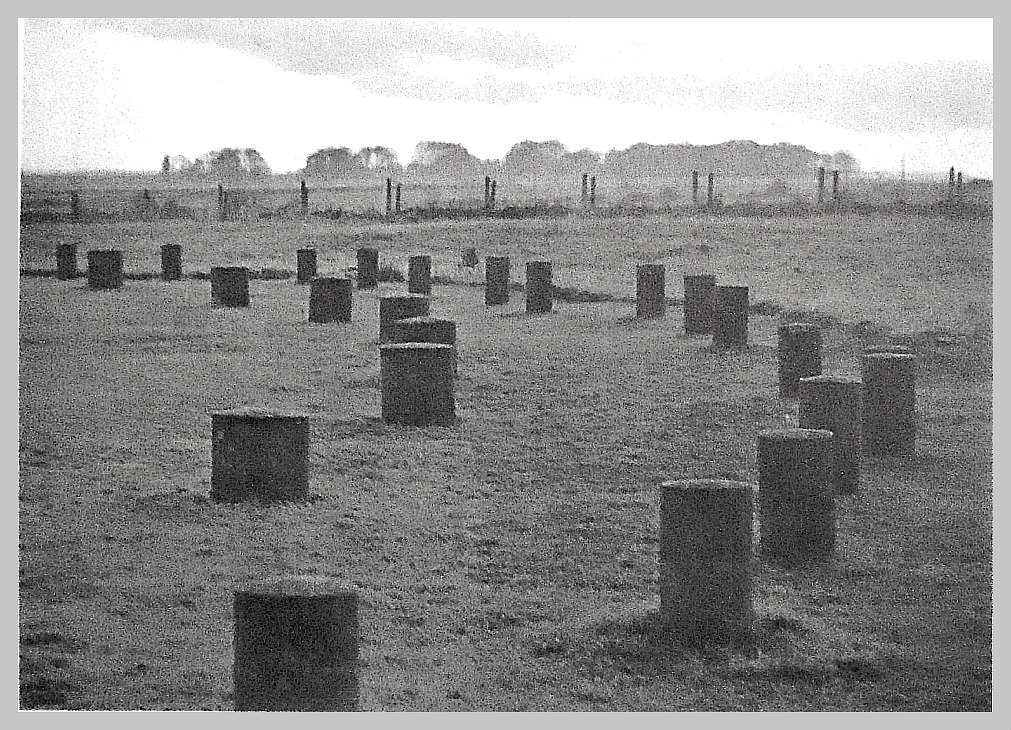
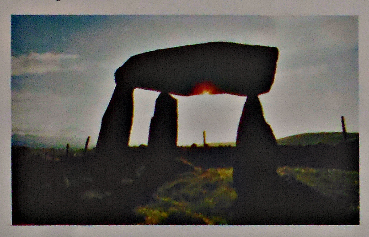
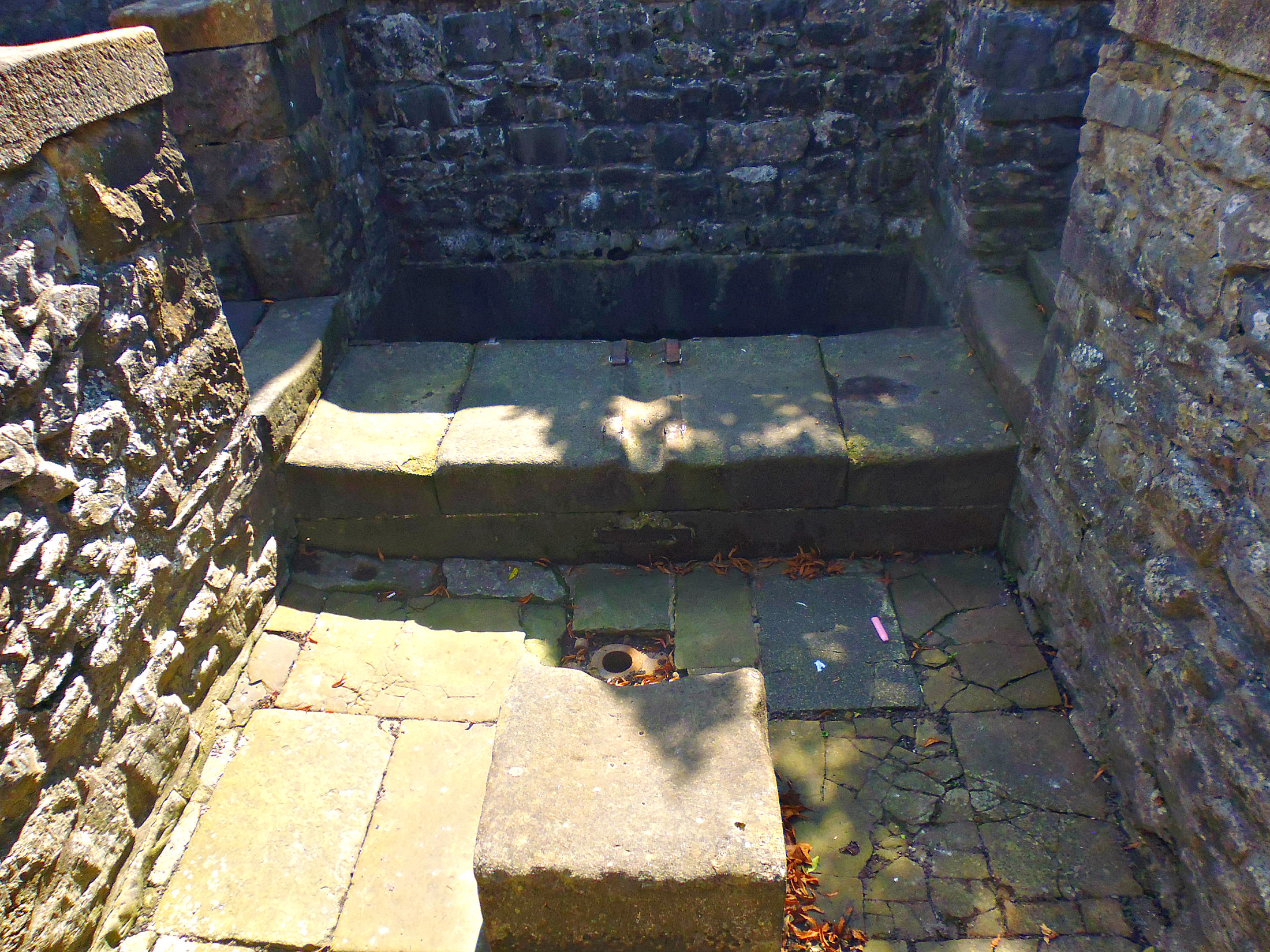
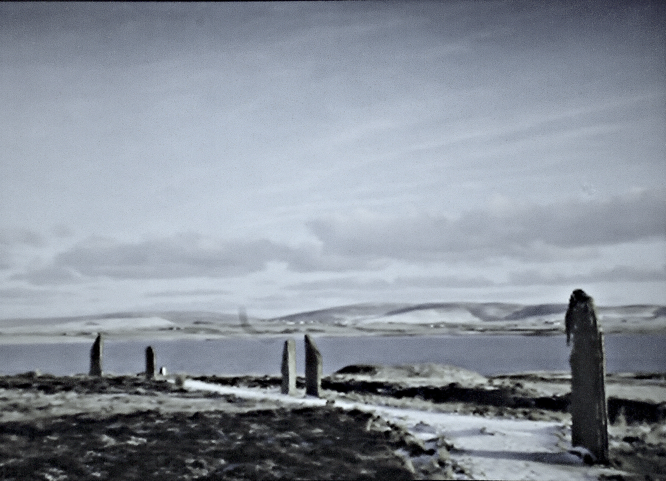
Curved section of Woodhenge, near Amesbury, Wiltshire.
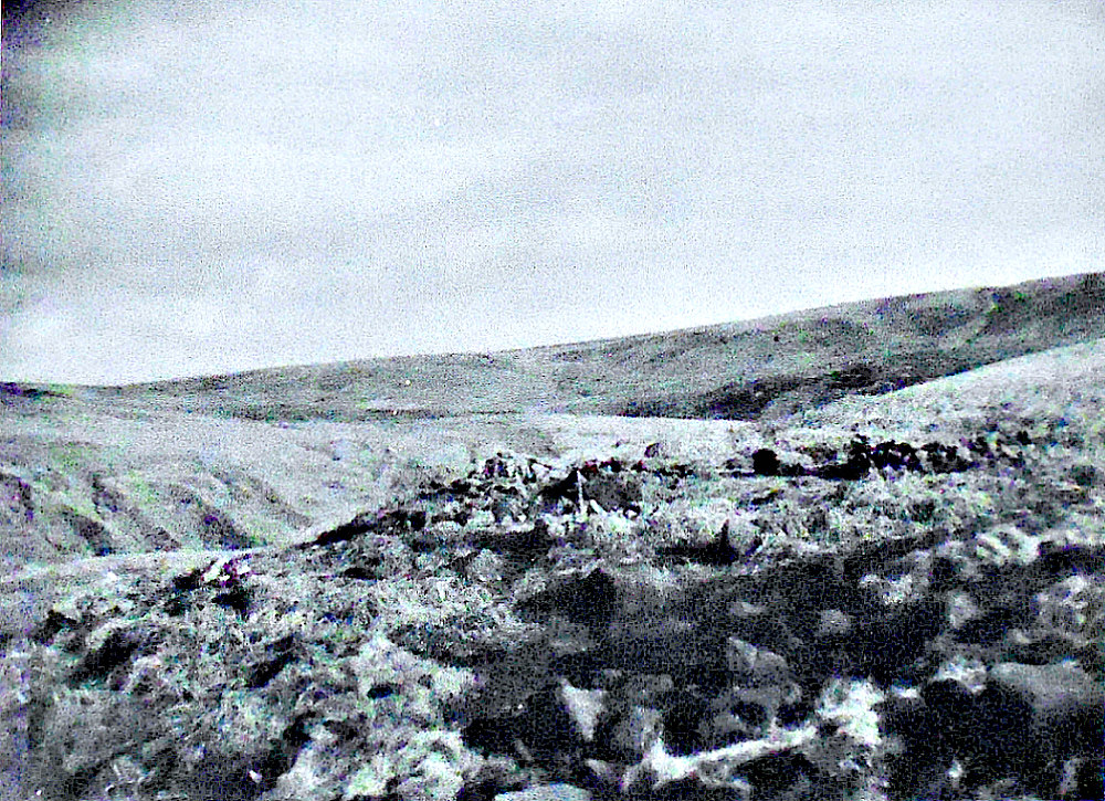
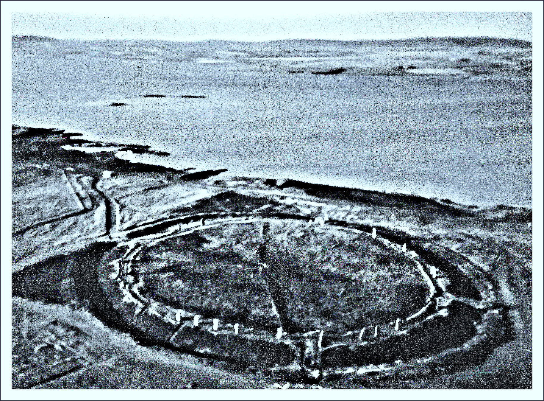
NGR: SU 15068 43372. A Neolithic henge monument consisting of banks and ditches sur-rounding six wood circles, 2 miles to the north of Amesbury, Wiltshire, dating from around 2,500 B.C. The Woodhenge site was originally known as Dough Cover. Whereas Stonehenge ‘has’ circles of stones, Woodhenge ‘had’ circles of wooden posts, or more precisely, six concentric ovals of wooden posts, which are today marked by ugly concrete markers. Just to the north of Woodhenge is Durrington Walls, an almost circular Neolithic henge monument with its associated hut settlement; and there are also burial mounds in this same area. Woodhenge was first identified from an aerial photograph taken by Squadron Leader Gilbert Insall, VC, in 1925, which was around the same time that an aerial archaeological survey of Wessex by Alexander Keiller and Osbert Guy Stanhope Crawford (of the Ordnance Survey) was also being undertaken. The Cunnington family excavated the site between 1926-28, and, further excavations took place there during the 1970s. This classic henge monument is to be found in a field beside Fargo Road at Larkhill, 2 miles north of Amesbury and ½ a mile southwest of Durrington village.
James Dyer (1973) says: “Lying 91 m north of the great henge monument of Durrington Walls, which contained at least two timber circles, now under the main road, Woodhenge should probably be seen as part of the same complex. Discovered by aerial photography in 1925 and subsequently excavated by the Cunningtons, it was shown to consist of six concentric ovals of posts, enclosed by an irregular circular ditch 1·8 to 2·1 m deep and 3·7 to 4·9 m wide. At the north-east was an entrance causeway 10·7 m wide, whilst outside the ditch was a wide, low bank of earth. The positions of the internal wooden posts are indicated by concrete markers. At the centre of the structure was the grave of an infant about three years old, who had died from a blow on the skull. The position of the grave is marked by a cairn of flints. Grooved-ware pottery from the site indicates that it is broadly contemporary with Durrington Walls.
“Timber circles, such as Woodhenge, were probably roofed buildings, used for religious purposes, the precise nature of which remains obscure. They may have had a central court, open to the sky. If this is the case there may have been a connection with the observation of the sun or moon. Alternatively, Woodhenge may, as was originally suggested, have consisted of free-standing circles of posts, some, perhaps, with wooden lintels, looking as its name suggests, like a timber version of Stonehenge. Or again, the posts standing alone, carved and painted like totem poles, might be considered.”
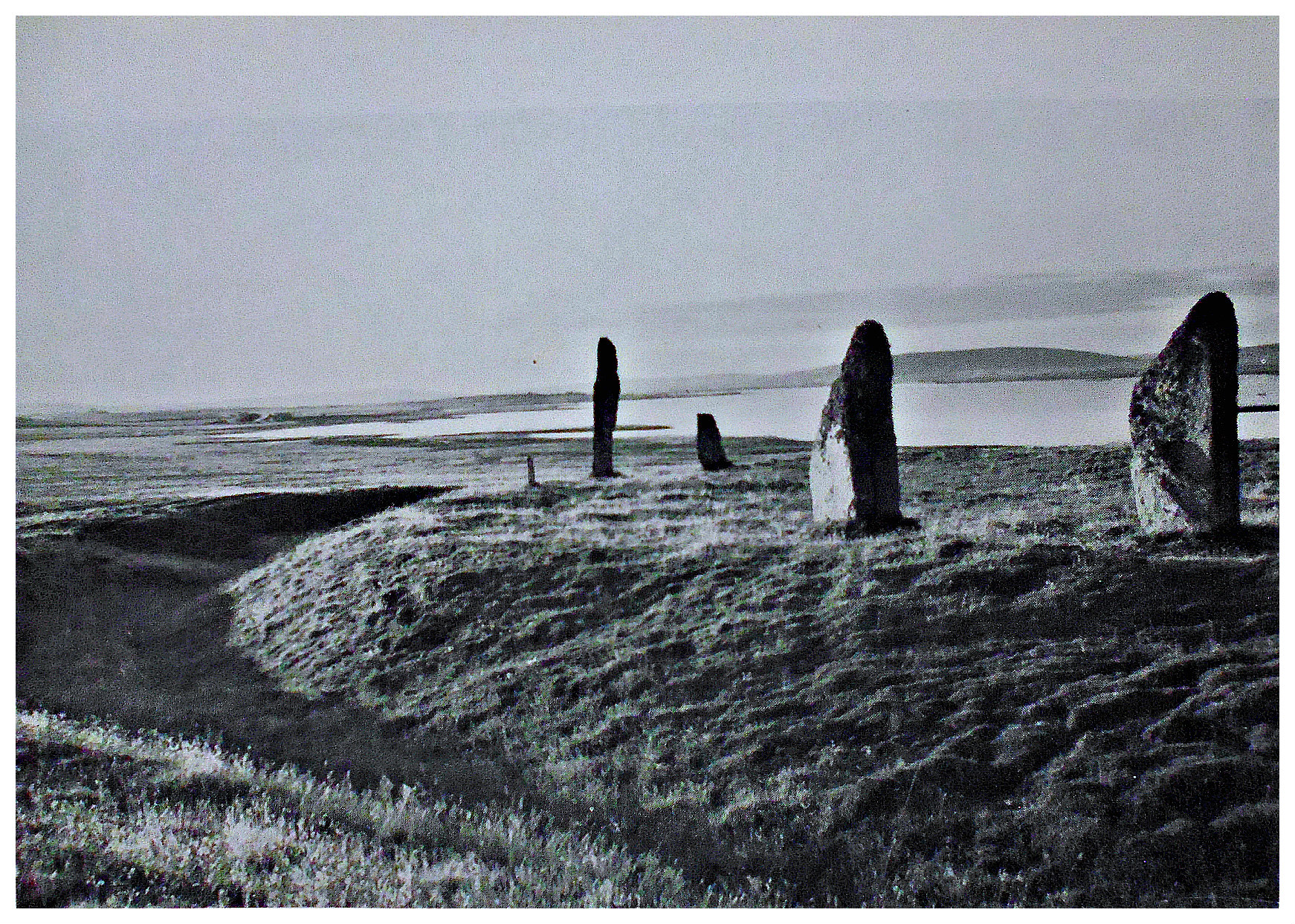
Jacquetta Hawkes (1975) tells us that: “Although Stonehenge must by comparison render any other site something of an anti-climax, before leaving the Plain the traveller should push northward, following the Amesbury-Marlborough road until about a mile and a half north of Amesbury, it passes a circular maze of concrete stumps, recalling those seen at Overton Sanctuary……This remarkable site was discovered by air photography, and subsequent excavation proved it to have been another sacred enclosure of the henge type monoliths with no less than six oval settings of posts, their long axis apparently orientated on the Midsummer sunrise. Looking at the concrete markers set in the former post-holes, one would hardly suspect, what was in fact the truth, that the excavators found near the centre of the sanctuary the skeleton of an infant with its skull cleft open—probably a dedication sacrifice. The post-holes probably represent a circular, roofed wooden temple, comparable to the sanctuary.
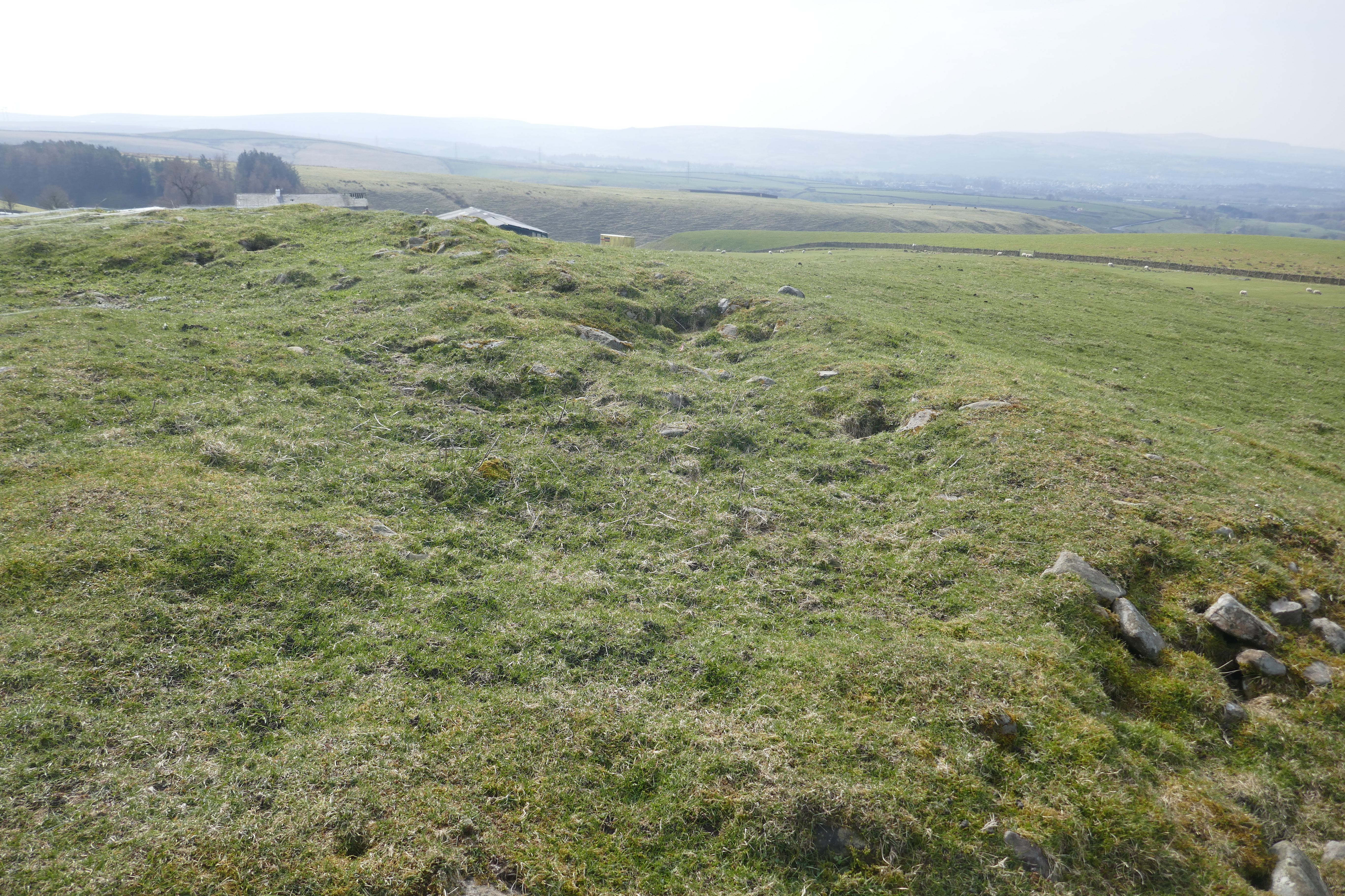
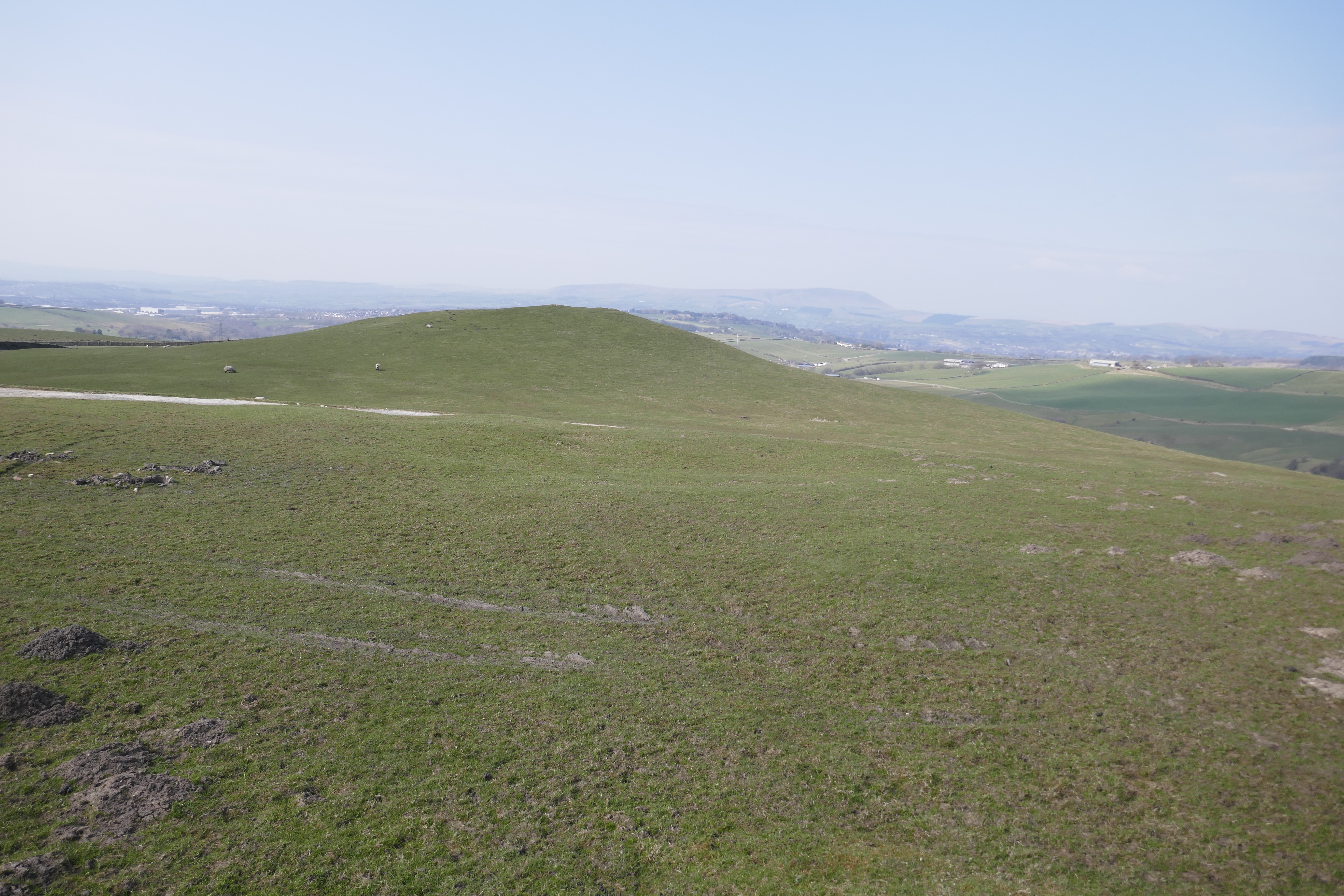
“A short distance beyond this temple (i.e. Woodhenge) lies the almost obliterated Durrington Walls, an earthwork which would hardly claim attention were it not that it constitutes the remains of another henge monument that was once of considerable size and importance. When excavated in the ‘fifties and ‘sixties it was found to date to the late New Stone Age and was thus roughly contemporary with the neighbouring sanctuary of Woodhenge. Indeed the surrounding area was a focal centre for early human occupation. Just a quarter of a mile to the northeast, close to the Stonehenge Inn, is a flint mine, and there are many early round barrows. Inside the bank and ditch, which were more extensive though much less massive than those of Avebury, there had stood two circular wooden buildings, the larger having features in common with Woodhenge.”
Timothy Darvill (1988) says of Durrington Walls: “Durrington Walls is a large, roughly circular enclosure, constructed about 2500BC. The site is best viewed from the car park to Woodhenge. When new, Durrington Walls was of comparable proportions to Avebury Ring…..but all that can be seen today are the denuded remains of the banks, and, when the fields are ploughed, a dark line around the inside of the bank indicating the position of the silted-up ditch. However, much is known about the site as a result of excavations during the realignment of the A345 which runs through the enclosure. This work revealed that the ditch was 18m wide, 6m deep, and that the bank was originally about 27.5m wide and approximately 3m high. Inside the enclosure were several massive circular timber buildings each over 30m in diameter. Finds included much-grooved ware pottery, and the animal bones indicate that many pigs were consumed by the inhabitants or users of the site.”

Woodhenge – the complete site – photo by GothamNurse (Creative Commons).
Woodhenge is in the care of English Heritage: https://www.english-heritage.org.uk/visit/places/woodhenge/ while Durrington Walls is on land owned by The National Trust: https://heritagerecords.nationaltrust.org.uk/HBSMR/MonRecord.aspx?uid=MNA140546
Sources / References & Related Websites:-
Darvill, Timothy, AA Glovebox Guide − Ancient Britain, The Publishing Division of The Automobile Association, Basingstoke, Hampshire, 1988.
Dyer, James, Southern England: An Archaeological Guide, Faber And Faber Limited, London, 1973.
Hawkes, Jacquetta, A Guide To The Prehistoric And Roman Monuments In England And Wales, Cardinal (Sphere Books Ltd.,), London. 1973.
The AA, Treasures Of Britain — And Treasures Of Ireland, Drive Publications Limited, for the Automobile Association, London, 1968.
Photo here at: https://commons.wikimedia.org/wiki/File:Woodhenge.jpg
https://en.wikipedia.org/wiki/Woodhenge
https://en.wikipedia.org/wiki/Durrington_Walls
https://www.discoveringbritain.org/activities/south-west-england/trails/durrington-walls/
https://www.megalithic.co.uk/article.php?sid=6501
Woodhenge Henge Timber Circle – Amesbury, Wiltshire. A wooden version of Stonehenge?
This is interesting https://this-is-amesbury.co.uk/woodhenge/
More here https://www.historyhit.com/locations/woodhenge/
Copyright © Ray Spencer, The Journal of Antiquities, 2022.


.jpg)