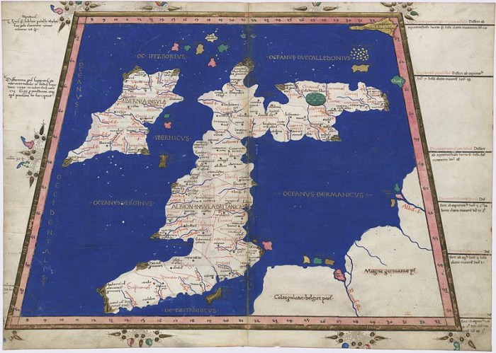
Ptolemy Cosmographia (Wikipedia)
Looking through some of my old ‘Prediction’ magazines, I came across a fascinating historical article by Paul Harris. This article appeared in the June 1995 edition of the magazine and is all about the sunken lands, lost cities, kingdoms and islands (one of which has ‘perhaps’ given rise to the famous legend and perhaps myth of Atlantis) which are reputed to lie around the coastline of the British Isles. I thought that other people might like to read this, and so here it is “quoted” in full. The author says:
“The coastline of Britain is constantly under attack from the sea with vast tracts of land having been lost over the centuries, while medieval ports find themselves stranded inland by the action of longshore drift and estuarine silting. With this ever-changing scenario it is not surprising that many tales are told of one-time kingdoms, cities and islands now lost beneath the waves.”
“One of the most extensive of these ‘lost lands’ would seem to be that reputed to lie under Cardigan Bay, Wales. Known as Cantrer Gwaelod, or Bottom Cantred, this land was said to be 40 miles in length, 20 in breadth, containing 16 cities and protected from the sea by a series of dykes.”
“According to a tale told in the Welsh Triads, a dyke-keeper, being drunk, left open some sluice gates which inevitably led to the overwhelming of Cantre Gwaelod by the sea. It is now said that church bells can be heard tolling mournfully from their undersea locations at certain times and that, at low tide when the water is clear, buildings can be seen beneath the shallow sea.”
“The Triads date the flood as ‘the time of Ambrosius.’ Since Ambrosius was the Celtic leader between about 460AD and 480AD, the flood must have occurred then. So what evidence exists to support the local belief and the Triad story?
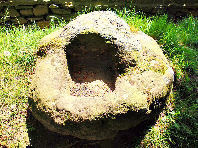
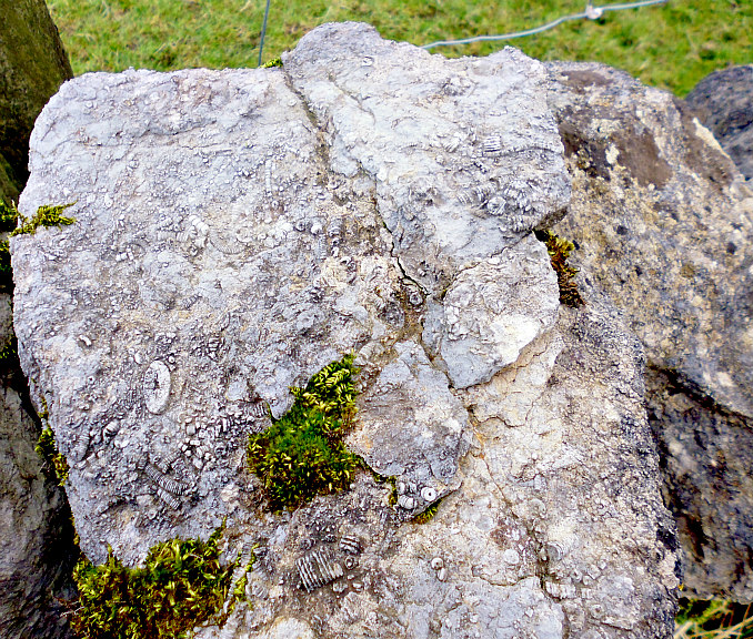
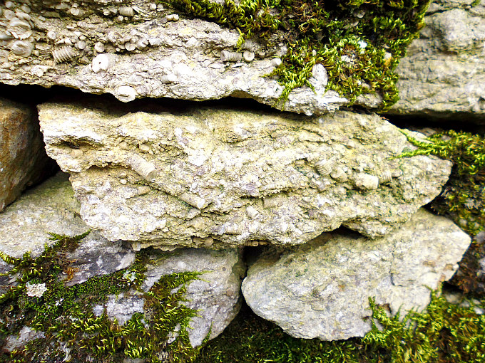
“Well, firstly, there are long pebble ridges that stretch out to sea here. They look like abandoned sea defences and are often assumed so to be. Also, there are megalithic remains in the shallower parts of Cardigan Bay.”

Submerged Forest Ceredigion Coast (photo credit: Richerman for Wikipedia)
“Indisputably then, there were islands off this coast during the Neolithic and Bronze Age periods that have since been submerged, thus leaving the megalithic structures beneath the sea and indicating that the sea level has risen since then. Also, there are fossil remains of forests that must have existed in the warm period after the end of the last Ice Age. These are now only exposed at low tide.”
“This raising of the sea level, though, affected the whole of Britain, not just Cardigan Bay, and certainly occurred prior to the ‘time of Ambrosius.’ It seems, therefore, that the indications of former land, now submerged, may have given rise to the legend of Cantrer Gwaelod, not the other way round. The Triads story may refer to the flooding of a small island elsewhere. Indeed, it bears an uncanny resemblance to the story of the island of Ker Is which, according to Celtic sources, sank off Brittany during the 6th century.”
“So what of the sea defences? These apparently are natural formations. Indeed, it was not even suggested that they were submerged sea walls until the 17th century, according to folklore researcher and author, Jennifer Westwood.”
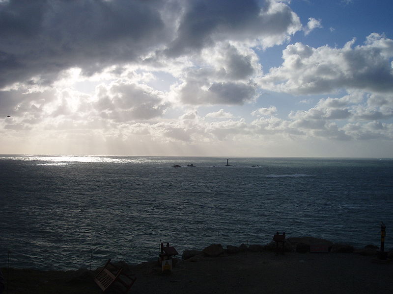
Lyonesse

Land’s End (Looking West) Photo Credit: Carcharoth (Commons) for Wikipedia
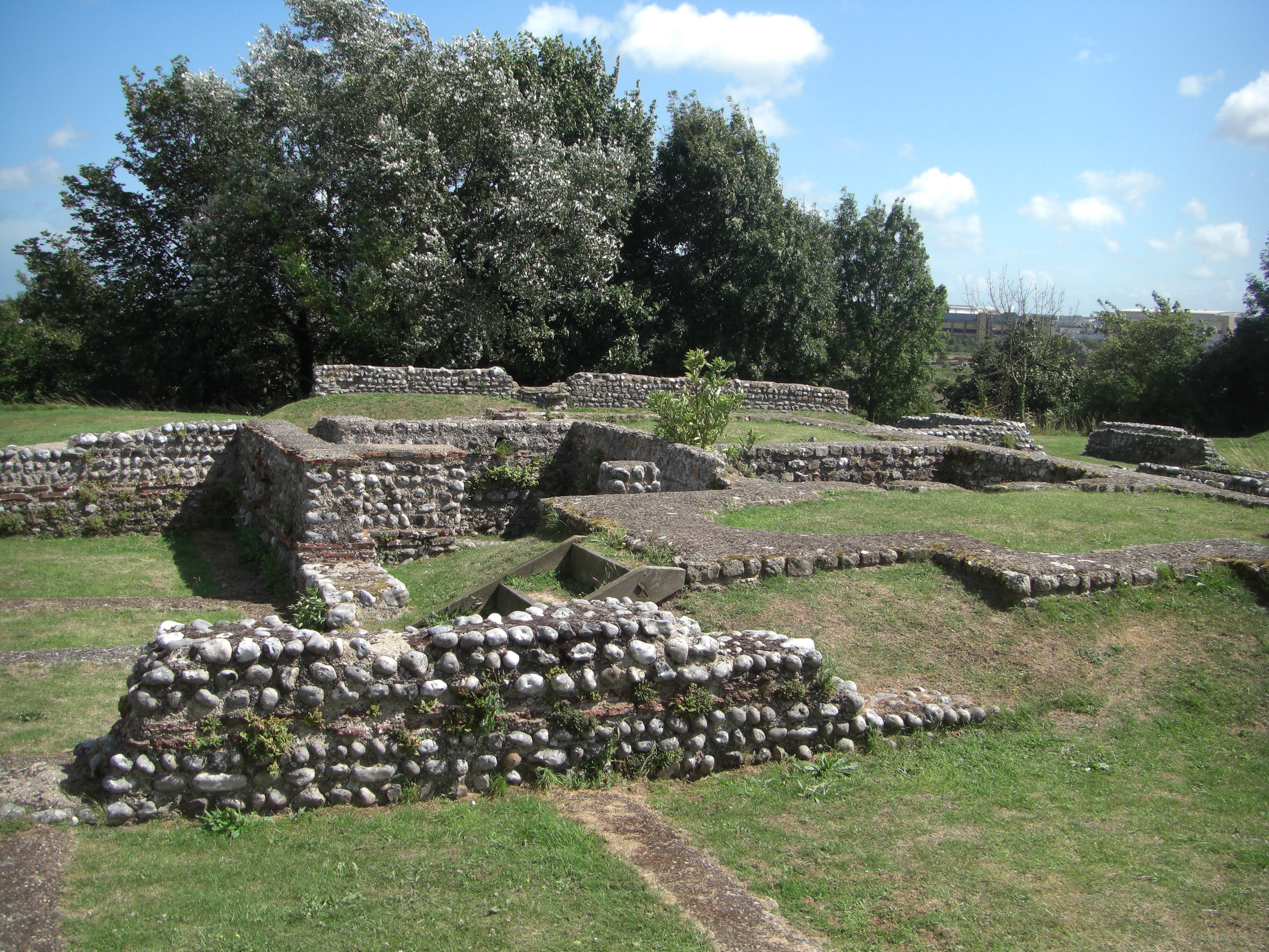
“Evidence is much stronger, however, for the fabled lost land of Lyonesse, no doubt the best known of our legendary sunken kingdoms. Its capital, the City of Lions, is said to have existed in the area of the Seven Stones, which lie seven miles west of Land’s End.”
“Lyonesse itself supposedly extended from the Cornish peninsula to the Scilly Isles, contained many towns and villages and a total of 140 churches. The lost land also has a place in Arthurian legend; but did it ever exist?”
“Certainly the Scilly Isles themselves were one island as recently as the period of the Roman occupation, there being reliable descriptions of the Silvram insulam or Scilly Isle in 240AD and by Suplicius Severus in about 400AD. Furthermore, the islands themselves show signs of inundation since the pre-Roman Iron Age, there being huts and walls from this period still visible in the shallow waters between the islands. This, with the Roman reports mentioned above and the Arthurian legend of Lyonesse, strongly suggests the existence of a lost land here at least into the 5th century.”
“Perhaps the flood described in the Welsh Triads sank Lyonesse, too? Or did all these Celtic legends arise from just one event? Whatever, the timing of this particular submergence seems fairly clear. As for the depth of the submergence, investigations during the 1950s and 1960s put this as 14ft since the Iron Age.”
“This is enough to link some of the Scillies together, particularly with the aid of sea defenses, but not enough to allow the area from the Scillies to Land’s End to be above sea level in its entirety, though parts such as the Seven Stones reef would be. To allow the whole of the legendary land of Lyonesse to be above sea level would require a drop of 60ft in ocean depth. The last time that this was the case was toward the end of the last Ice Age, some 9,000-10,000 years ago, perhaps stretching back into prehistory.”
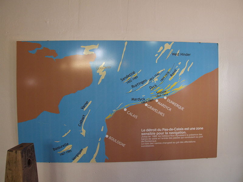
East Coast

Plan Of Goodwin Sandbank (photo credit: Claus Ableiter for Wikipedia)
“Moving around the coast to Kent, we come to the Straits of Dover and off the coast near Deal lie the Goodwin Sands, grave for upwards of 50,000 mariners over the centuries. At low tide the sands can be exposed to such an extent that it is possible to land on them.”
“Named after Earl Goodwin, the sands were once the island of Lomea, so tradition tells us. Apparently, the Earl neglected to maintain the island’s sea defences and, in the ‘Martinmas Storm’ of 1099, it was overwhelmed and never reclaimed.”
“Core samples taken from the Sands show that the ‘island’ is basically only a sand bar with a bedrock of chalk much deeper than sea level. However, in the past, the rivers Stour and Wantsum emptied much more silt into the sea near here, possibly leading to the sustenance of a much more pronounced sandbank than exists today. If this is so, there may be a basis to the legends.”
“What is factual beyond doubt, however, is the constant erosion of this coast by the sea to a quite spectacular degree. The Isle of Sheppey, on the North Kent coast, is eroding at an alarming rate. On the north coast of the island is the town of Minster. During the Middle Ages this was situated in the centre of the island! Further north, all along the coast of East Anglia, lonely, windswept clifftops overlook dark, choppy seas where once human activity took place and spectral church bells supposedly toll.”
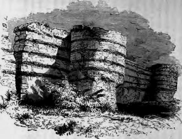
Dunwich

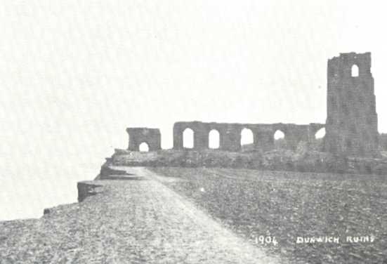
Ruin of All Saints Church, Dunwich, 1904 postcard (Wikipedia)
“One ‘lost city’ here is very well documented: Dunwich, on the Suffolk coast between Southwold and Sizewell. It was once a prosperous port situated on the River Blyth and became the capital of Saxon East Anglia reaching its peak during medieval times. But in January 1326 disaster struck. In one night three churches and over 400 houses were swept away in a great storm and one million tons of shingle and sand banked up across the harbor mouth, cutting off the River Blyth and diverting it northwards.”
“Dunwich died, its trade killed by this sudden lack of a harbour. The population declined as merchants moved away and its sea defences were neglected. By the mid 17th century the marketplace was awash and house after house, street after street, fell over the crumbling cliffs into the advancing sea. Now, all that remains is a church, a ruined priory, a pub and a few houses.”
Atland

Map of Doggerland c8,000 BCE (photo credit: Max Naylor for Wikipedia)
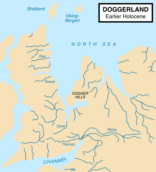
“Travelling north eastwards across the North Sea brings us to the vicinity of the Dogger Bank, today the shallowest part of the sea between Britain and Scandinavia but at one time a large, populated island. Evidence for this has been found in the form of Mesolithic implements found in the material dredged from the Dogger Bank. The period during which a large island existed here would have been towards the close of the last Ice Age when the sea level was some 60-70ft lower than at present. However, there is a belief that a large island called Atland existed here until 2193BC when it was overwhelmed by tidal waves caused by volcanic activity.”
“Atland is described in a mysterious book that appeared in London in 1876 called the Oera Linda Book and subtitled ‘from a manuscript of the 13th century.’ The original was in the Frisian language and told of Atland and its inhabitants, the disaster that overwhelmed them and the subsequent history of the survivors who, it is said, carried civilisation across the world to, among other places, Egypt, Crete and Greece and were said to be the ancestors of the Celtic races.”
“Experts thought the book a forgery dating back to about the 1730s. Certainly this is a distinct possibility, especially as some of the contents do not seem credible. For instance, the survivors of Atland did not found the civilization in Egypt; this was already well advanced by 2193BC. Also, why were only the Mediterranean countries settled by Atland survivors and not Britain, France and Holland which were much nearer? Furthermore, there has been no volcanic activity for many millions of years.”
Atlantis

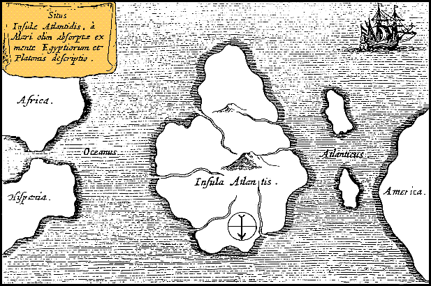
Athanasius Kircher’s Atlantis Map (Mundus Subterraneus 1669) Wikipedia
“None of this, however, prevented Robert Scrutton publishing the contents of the Oera Linda book in 1977 in his The Other Atlantis. Naturally parallels are drawn with Plato’s Atlantis which is thought to be the same place – after all the name is surely too similar to be coincidence? Maybe so but it is equally likely to indicate a deliberate attempt to emulate the Atlantis account.”
“Nevertheless, Scrutton draws attention to traditions of a major catastrophe of a flood-like nature in the northern hemisphere in times past, recorded in the Welsh Triads and, as we have seen earlier, there may be a basis of fact in those accounts.”
“What is certain is that today’s sea level is higher than it was in the past and is still rising. Also, large tracts of land have been lost to the sea and, no doubt, given rise to many legendary stories around our coasts.”
“What is also clear is that such disasters can happen at any time; the devastating East Coast floods of 1953 and 1978 are evidence of this. What has been may be again.”
[If you have found the above article interesting and would like to find out more about this particular topic, then please read the book ‘Lost Cities And Sunken Lands’ by Nigel Pennick, published by Capall Bann, 1997].
Sources:
Harris, Paul., ‘Beneath The Waves’ (article in Prediction magazine), June 1995, Volume 61, Number 6, Croydon, Surrey.
https://en.wikipedia.org/wiki/Cantre%27r_Gwaelod
https://en.wikipedia.org/wiki/Cantre%27r_Gwaelod
https://en.wikipedia.org/wiki/Land%27s_End
https://en.wikipedia.org/wiki/Goodwin_Sands
https://en.wikipedia.org/wiki/Dunwich
https://en.wikipedia.org/wiki/Dogger_Bank
https://en.wikipedia.org/wiki/Atlantis
Copyright © Ray Spencer, The Journal of Antiquities, 2015 (updated 2025).