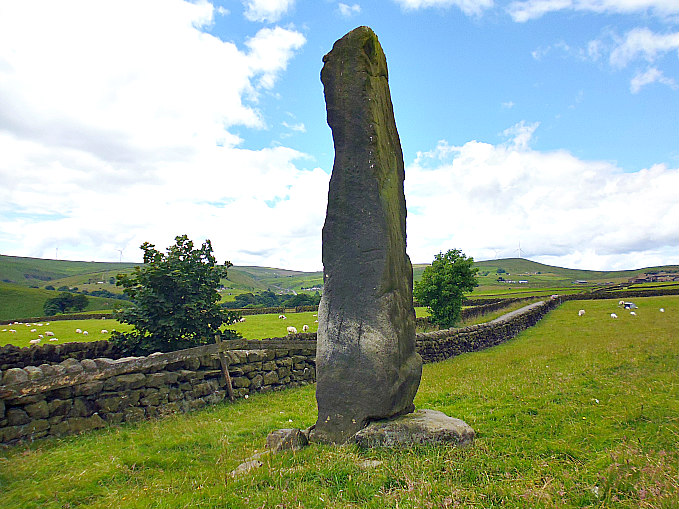
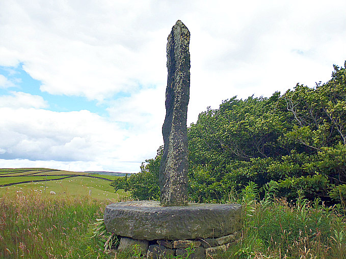
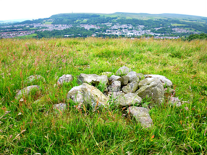
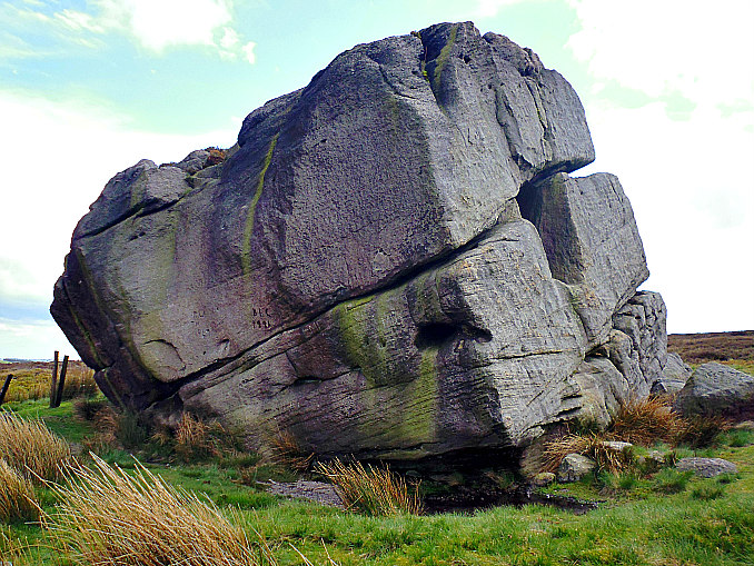
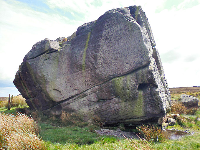
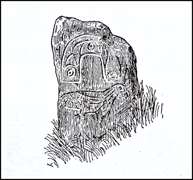
Robin Hood’s Stone at Holden Gate, near Riddlesden.
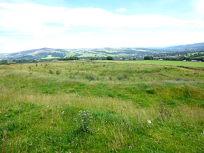
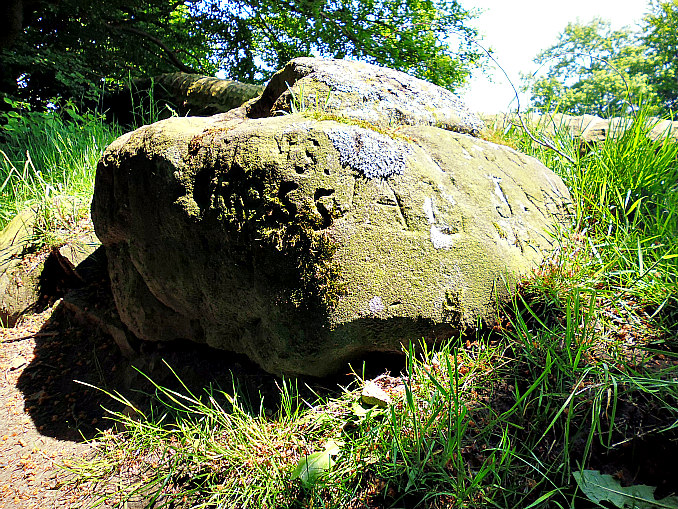
OS grid reference SE 0620 4446. A large pointed stone shaped like the head of a dinosaur, or maybe a dragon, stands below a rocky outcrop on Pinfold Hill, close to Holden Lane at Holden Gate, near Riddlesden, West Yorkshire. It is locally called ‘Robin Hood’s Stone’ but whether the legendary outlaw of Sherwood Forest ever visited it we don’t know, although there is also a Robin Hood’s Wood about ¼ a mile to the north-east of the stone. To make the stone look more interesting some bright-spark has painted eyes and teeth on it! It can be reached by travelling north along Holden Lane to the north-west of Riddlesden, and is about 450m further along the road from Holden Gate, and just after the footpath on the right. You can’t really miss it!

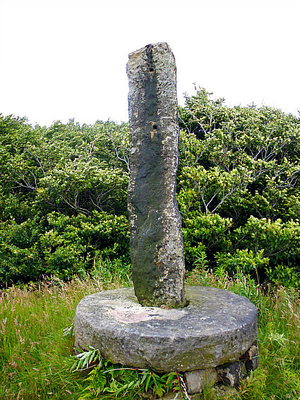
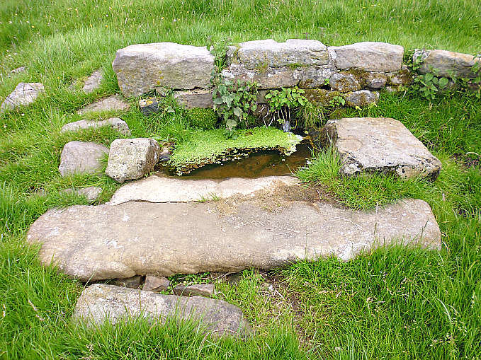
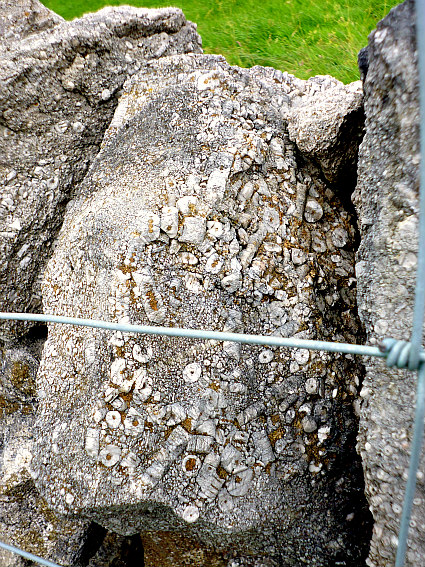
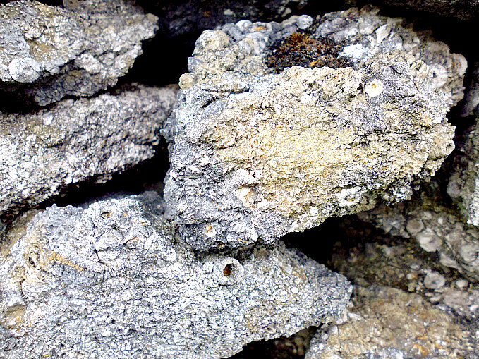
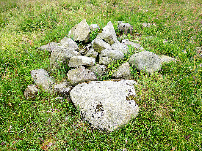
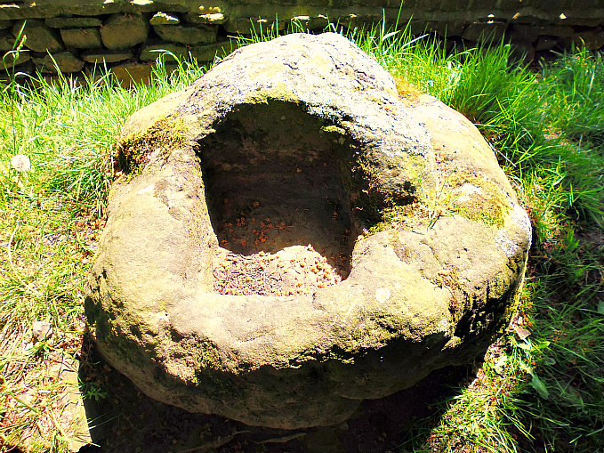
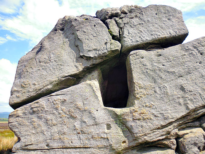
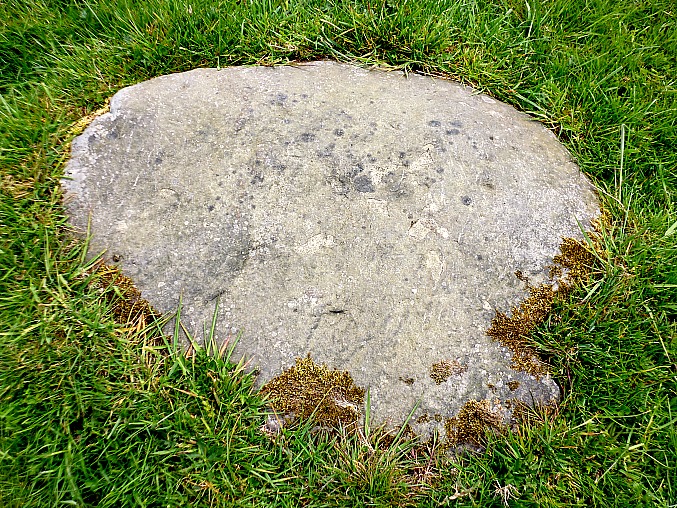
Robin Hood’s Stone (with possible cup-marks).
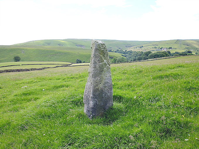
A curious stone this is mainly because of its strange shape. It looks as if it has, at some point, slid down the hillside from the rocky outcrop above on Pinfold Hill, when there was a perhaps a Geological earth movement here. Or could it be a glacial erratic boulder? But it doesn’t look like an erratic boulder to me because it seems to be very well embedded into the ground. It stands at a crazy, precarious angle and because of that it looks as if it could slither down the hillside at any moment! The large pointed stone has taken on the look of a dinosaur’s head, or could it be a dragon’s head, or a bird’s head! Some bright-spark has painted eyes and teeth on the stone to make it look like that maybe. On the flat, sloping side of the stone there are some “possible” prehistoric cup-marks, or were a few of these round holes made by climbers who often practice on the rock?
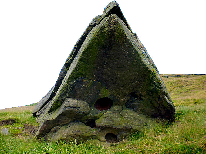
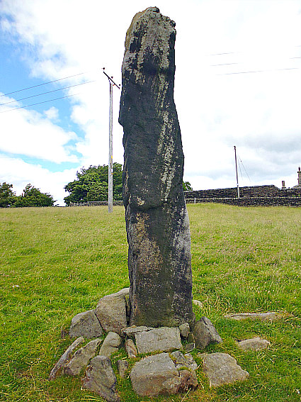
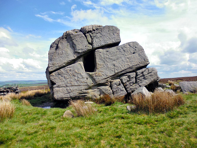
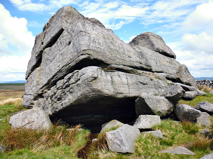
Robin Hood’s Stone (looking up at the stone).
Legend says that Robin Hood the outlaw of Sherwood Forest came here and took shelter beneath the stone; well he wouldn’t have had too far to travel from Kirkless, near Leeds. And Robin was maybe born in Wakefield! And just up the hill to the north-east of the stone we have a Robin Hood Wood. Paul Bennett of ‘The Northern Antiquarian’ has suggested that the stone was moved here in the Victorian period from near Barden Tower (Bolton Abbey way), and he goes on to say that Robin Hood’s Stone was once nearly broken up and taken away for building material – had it not been for local people who objected to its removal. He also thinks the stone “was” a meeting place at the pagan festival of Beltane (1st May). Check out TNA website (below).
Sources and related websites:-
http://www.bbc.co.uk/bradford/content/articles/2006/09/20/robin_hood_wakefield_feature.shtml
© Copyright, Ray Spencer, 2016.